Upgrade to Pro
— share decks privately, control downloads, hide ads and more …
Speaker Deck
Features
Speaker Deck
PRO
Sign in
Sign up for free
Search
Search
Worldwide Terrain and Cloud Infrastructure: an ...
Search
Seth Fitzsimmons
March 11, 2015
Technology
330
0
Share
Embed
Copy iframe code
Copy JS code
Copy link
Start on current slide
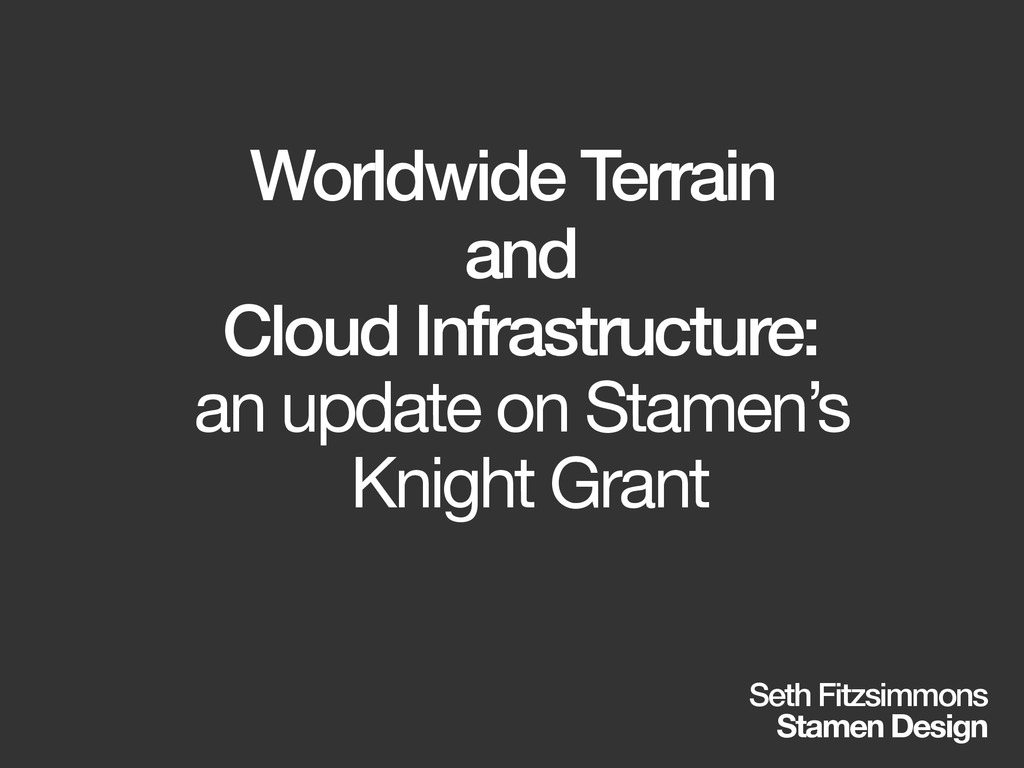
Worldwide Terrain and Cloud Infrastructure: an update on Stamen's Knight Grant
Seth Fitzsimmons
March 11, 2015
More Decks by Seth Fitzsimmons
See All by Seth Fitzsimmons
Working with OpenStreetMap using Apache Spark and GeoTrellis - SotMUS 2018
mojodna
0
350
OpenMapKit + POSM
mojodna
0
2.1k
NACIS 2016 - Practical Cartography Day
mojodna
1
630
Portable OpenStreetMap at SotM US 2016
mojodna
0
210
Print Cartography in a Multi-Resolution World
mojodna
4
830
How can open data save the world? How can we help?
mojodna
1
150
Trail Assist
mojodna
0
190
Running Your Own Rendering Infrastructure (FOSS4G 2014 Edition)
mojodna
0
280
What We've Made Together
mojodna
0
210
Other Decks in Technology
See All in Technology
AI_Dev_Day_製造業領域でのAI活用から見た活用の罠と成功に導く実践知.pdf
kintotechdev
0
190
AI Native なプロダクト組織の立ち上げ方 : 生産性 100 倍への挑戦
mikesorae
0
1.4k
「守りたい体験」を渡すだけで E2E を生成させられるようになった話
hinac0
2
1.1k
穢れた技術選定について
watany
19
6.2k
AI時代におけるエンジニアの新たな役割──FDEとクオリアの探求/登壇資料(戸井田 裕貴)
hacobu
PRO
0
360
Jitera Company Deck
jitera
0
460
壊して学ぶAWS CDK: そのcdk deployで消えるもの、残るもの
k_adachi_01
1
490
Alphaモジュール使っていいのかい!?いけないのかい!?どっちなんだいっ!?
watany
1
330
AIとハーネスで育てるトランスコンパイラ / 20260722 Yasushi Katayama
shift_evolve
PRO
3
870
【公開用】AI_Dev_Ex2026_AI_登壇資料
matsuritechnologies
PRO
2
570
仕様駆動開発、導入半年。「本当に速くなってるの?」にデータで答える / AICon2026_hirakawa
rakus_dev
0
330
Claude Mythos、Fable...フロンティアAIの最新動向と企業のセキュリティ対策
flatt_security
0
130
Featured
See All Featured
RailsConf 2023
tenderlove
30
1.5k
Designing Dashboards & Data Visualisations in Web Apps
destraynor
231
55k
Visual Storytelling: How to be a Superhuman Communicator
reverentgeek
2
590
Abbi's Birthday
coloredviolet
3
8.8k
The Mindset for Success: Future Career Progression
greggifford
PRO
0
430
Lessons Learnt from Crawling 1000+ Websites
charlesmeaden
PRO
1
1.4k
Marketing to machines
jonoalderson
1
5.6k
Navigating the moral maze — ethical principles for Al-driven product design
skipperchong
2
420
Reality Check: Gamification 10 Years Later
codingconduct
0
2.2k
How People are Using Generative and Agentic AI to Supercharge Their Products, Projects, Services and Value Streams Today
helenjbeal
1
240
From π to Pie charts
rasagy
0
240
Dealing with People You Can't Stand - Big Design 2015
cassininazir
367
27k
Transcript
Worldwide Terrain and Cloud Infrastructure: an update on Stamen’s Knight
Grant Seth Fitzsimmons Stamen Design
[intro]
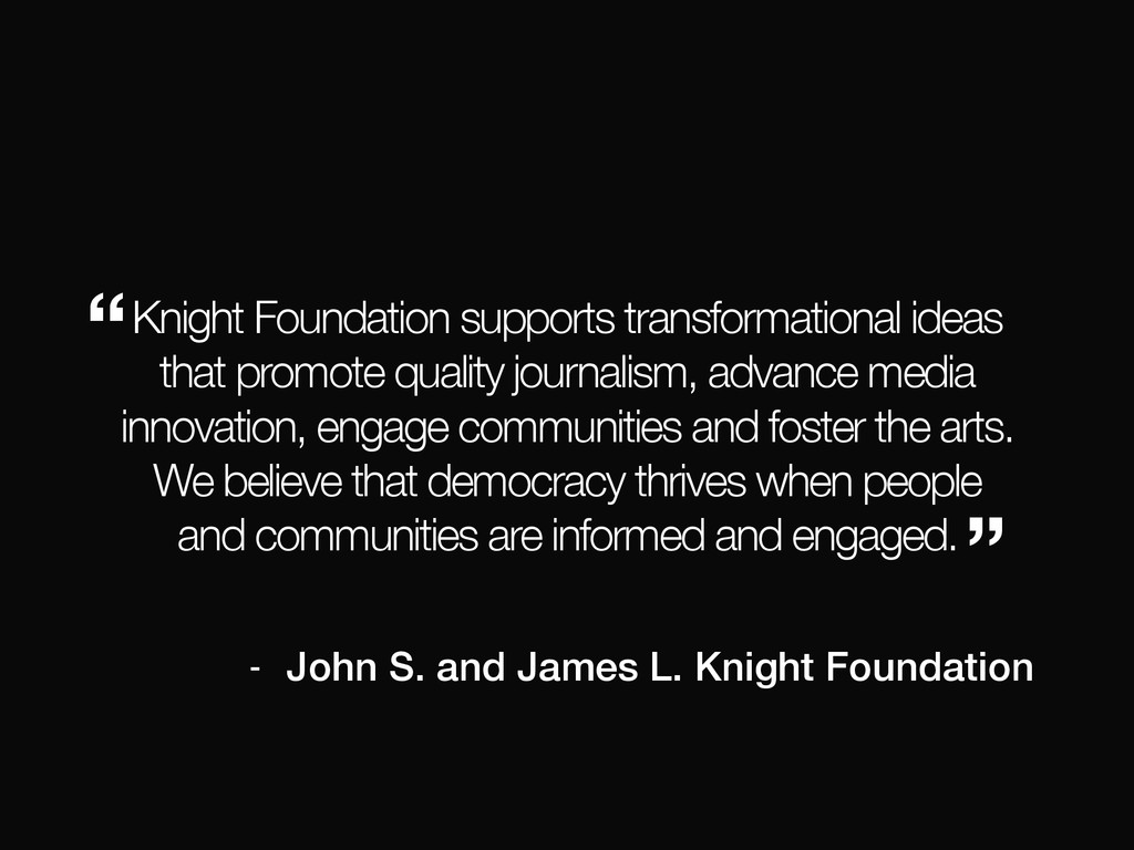
what is the Knight Foundation?
Knight Foundation supports transformational ideas that promote quality journalism, advance
media innovation, engage communities and foster the arts. We believe that democracy thrives when people and communities are informed and engaged. “ ” - John S. and James L. Knight Foundation
what is Stamen?
None
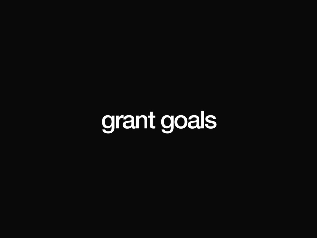
grant goals
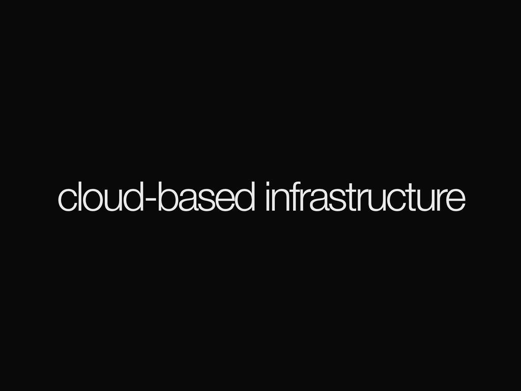
cloud-based infrastructure
worldwide terrain
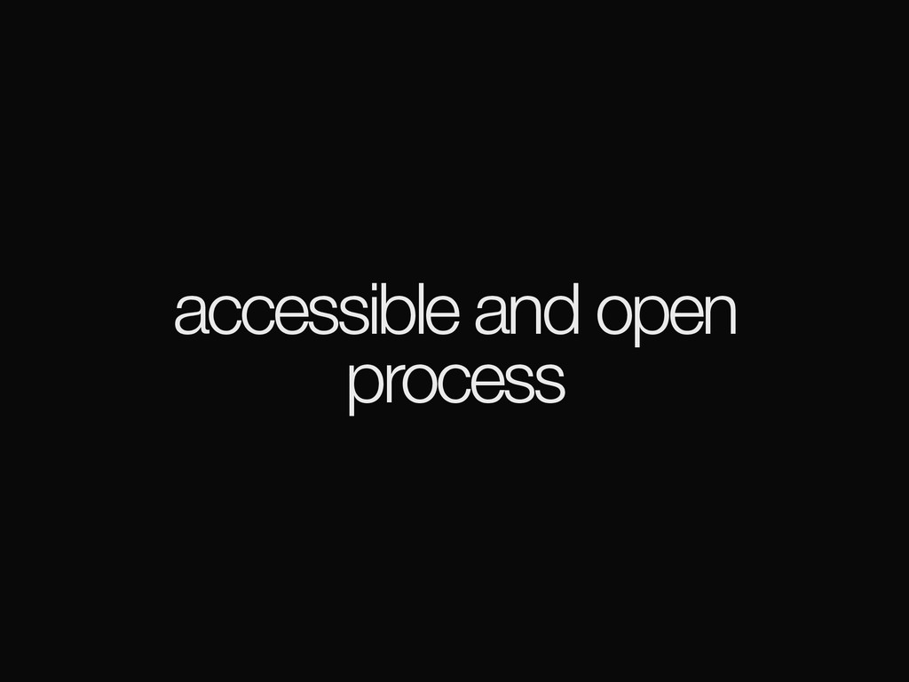
accessible and open process
(hi)
[background]
previously…
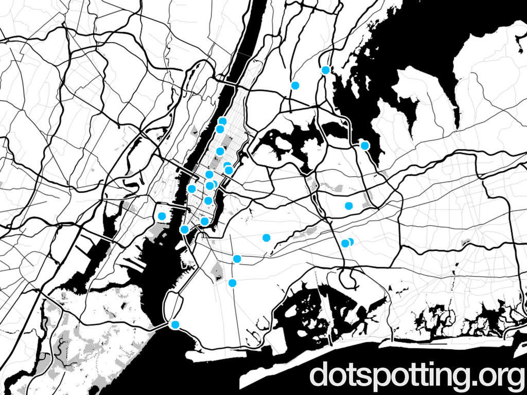
dotspotting.org
toner
watercolor
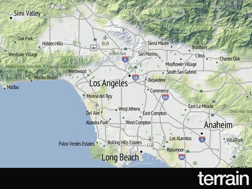
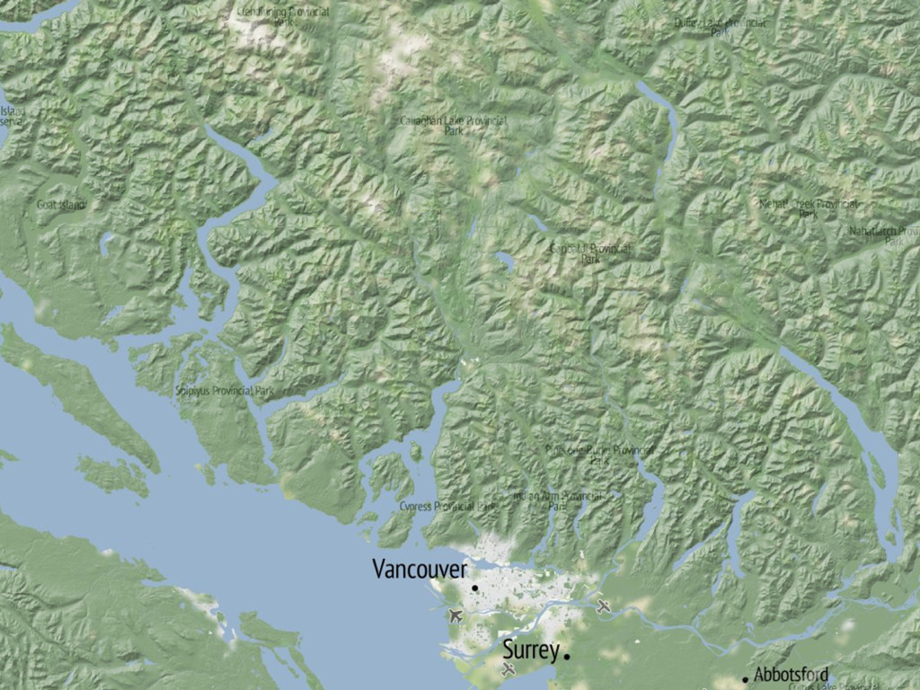
terrain
no pressure.
meanwhile…
6/2011: launch
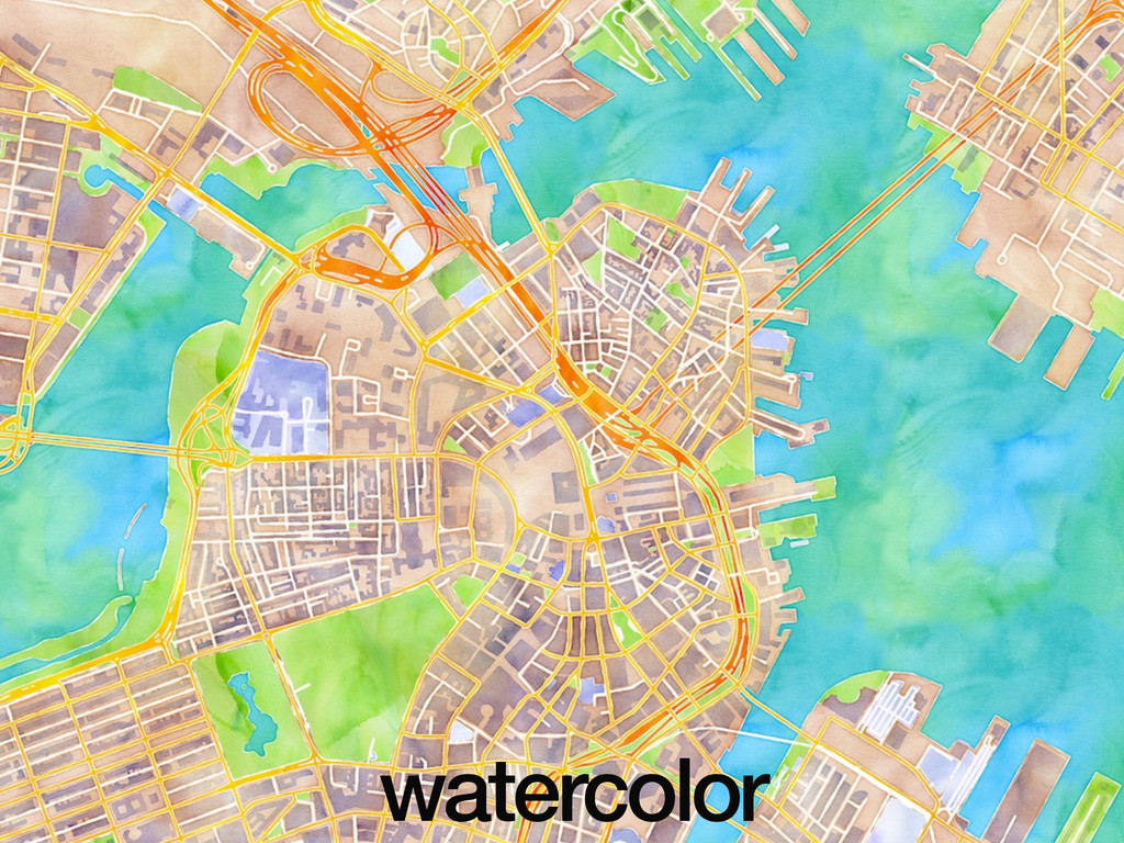
3/2012: watercolor
12/2013: 240m tiles
12/2014: 960m tiles
Mapbox
_aaS
modernization
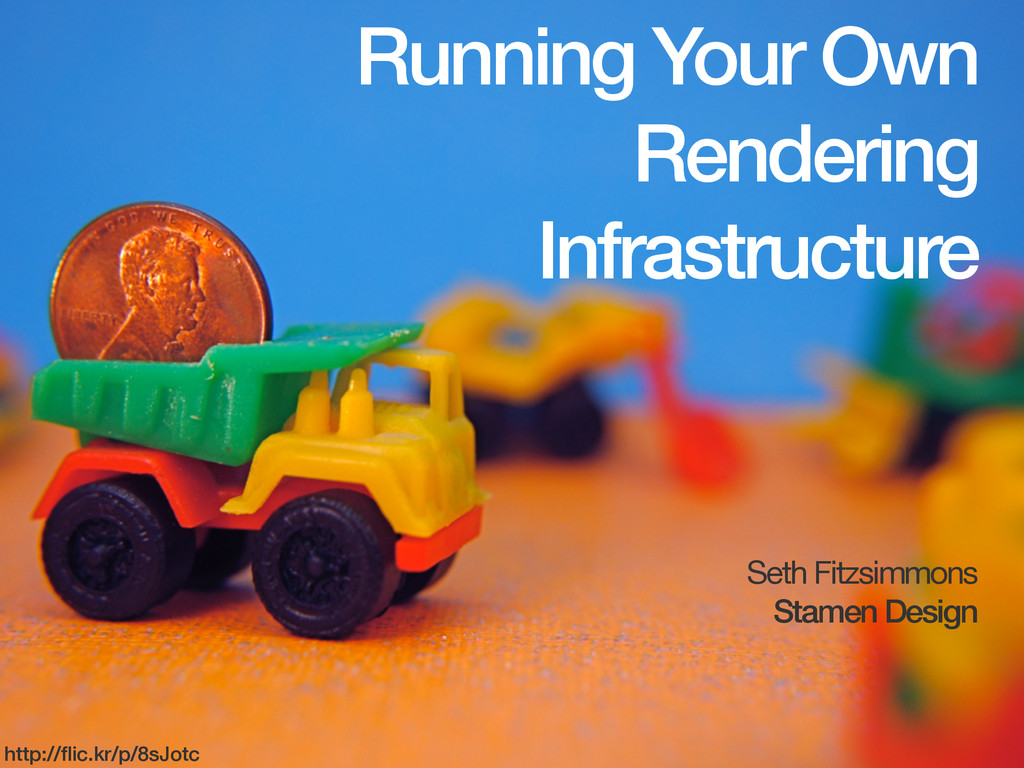
Running Your Own Rendering Infrastructure Seth Fitzsimmons Stamen Design http://flic.kr/p/8sJotc
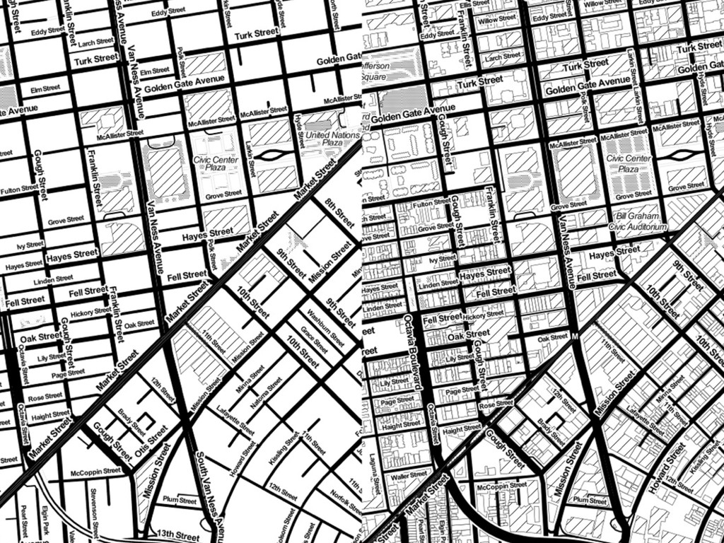
updated data
None
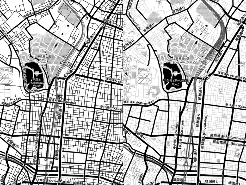
style tweaks
None
Cascadenik → CartoCSS
TileStache → tessera
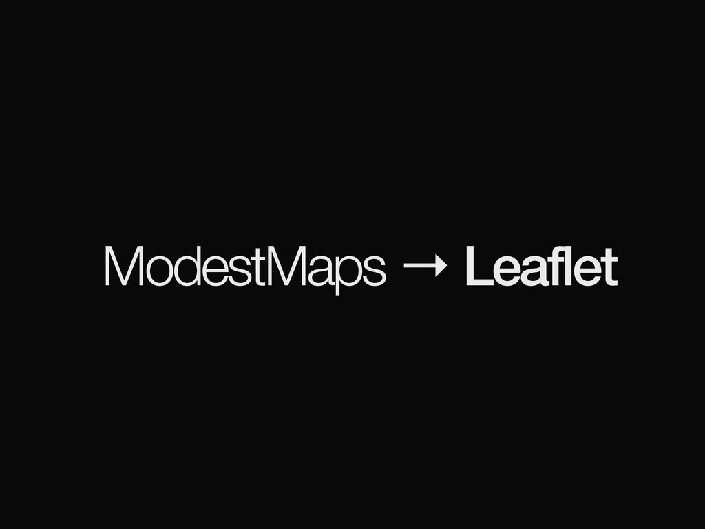
ModestMaps → Leaflet
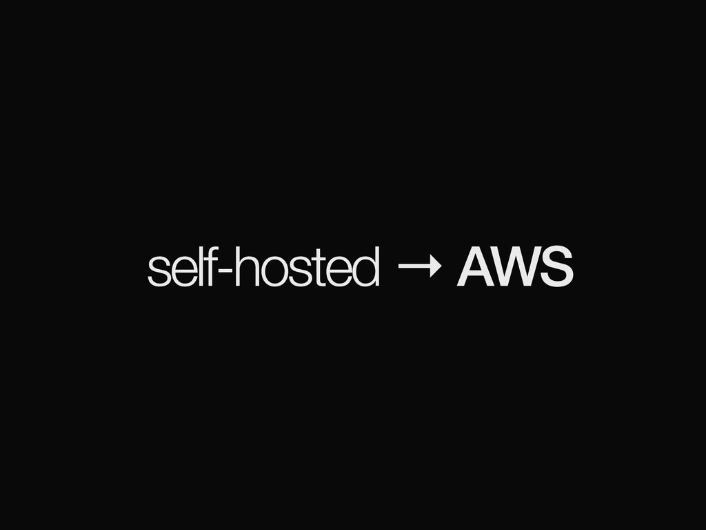
self-hosted → AWS
more accessible (?)
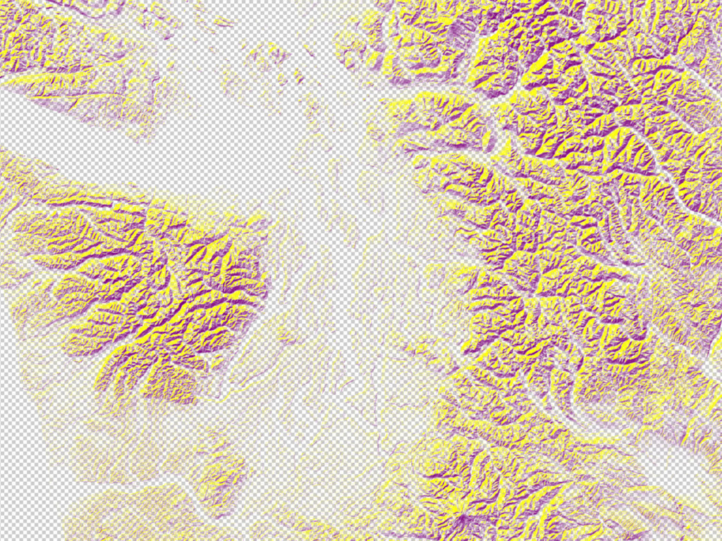
[terrain]
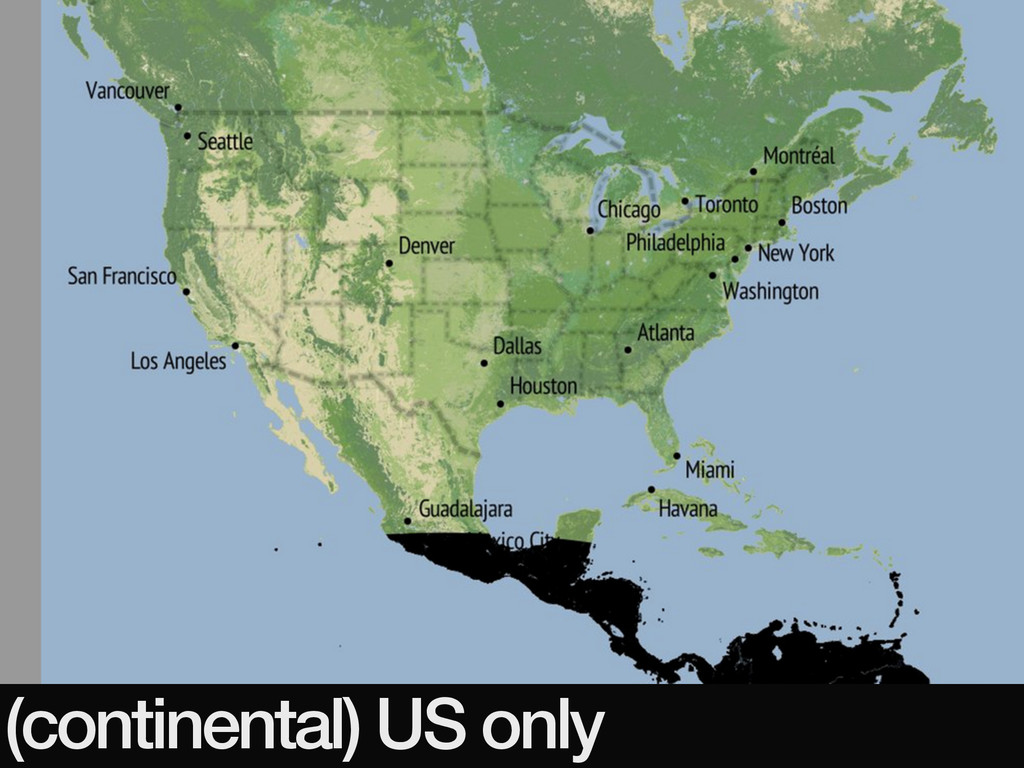
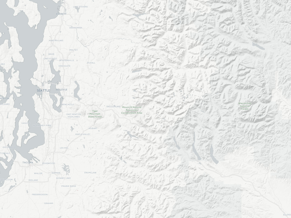
(continental) US only
∞ terrain maps
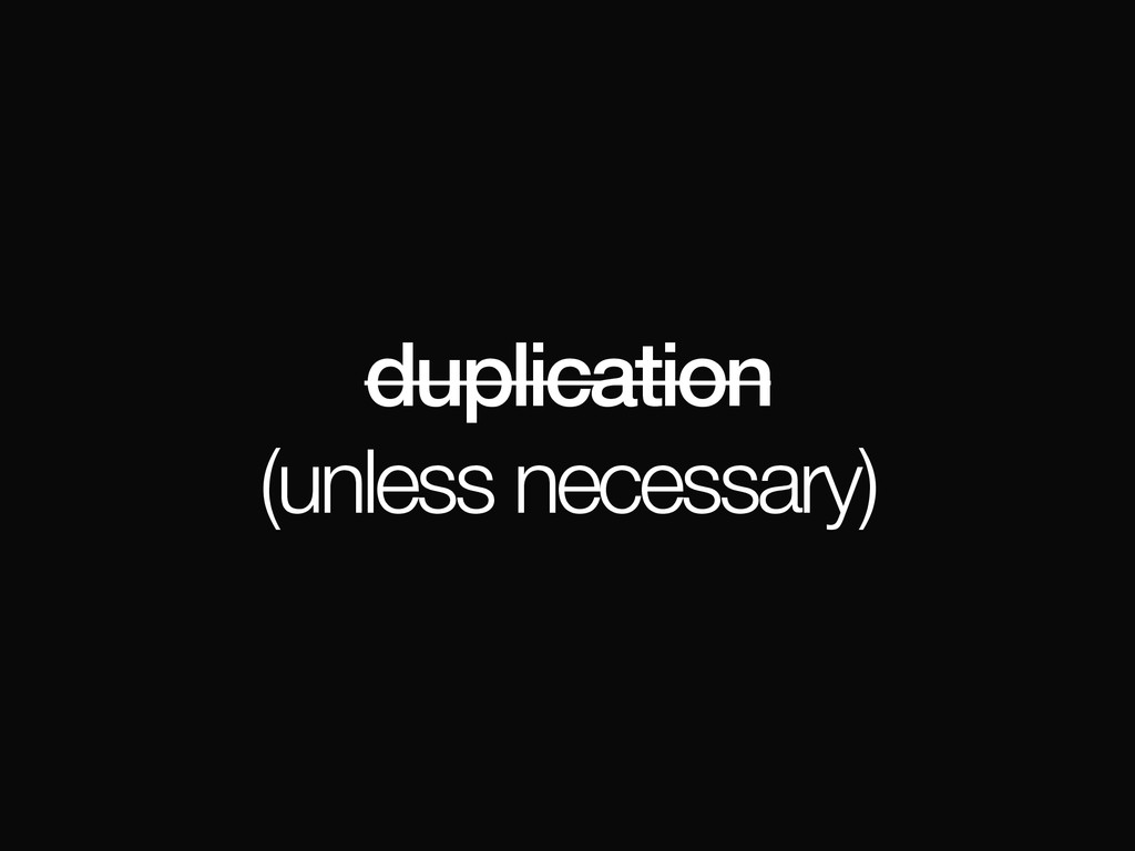
duplication (unless necessary)
“best available open data”
raw data
DEM
hillshades
contours
aspect?
slope?
… BoF @ 7:30
open (+ documented) process (work-in-progress: please help!)
(watching / collaborating with OpenAerialMap) BoF @ 8:30
expandable
institutional sources (NASA, USGS, …)
individual sources (OpenDroneMap)
[architecture]
cheap, simple, novel
(AWS)
storage via HTTP (S3)
overviews as distinct layers
rendered via Mapnik / GDAL
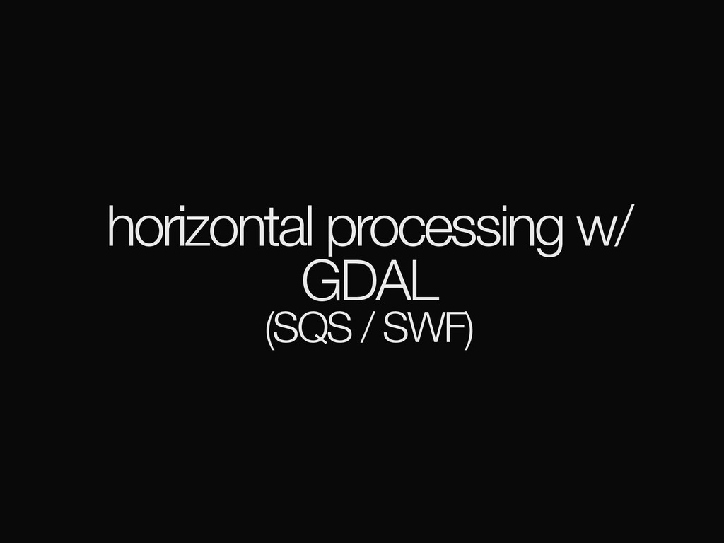
horizontal processing w/ GDAL (SQS / SWF)
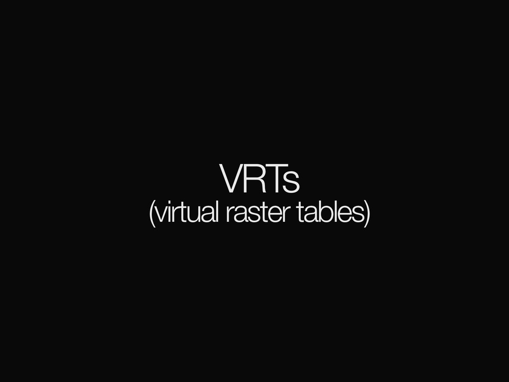
VRTs (virtual raster tables)
VSICurl /vsicurl/http://…
PostgreSQL / PostGIS
PostgreSQL / PostGIS
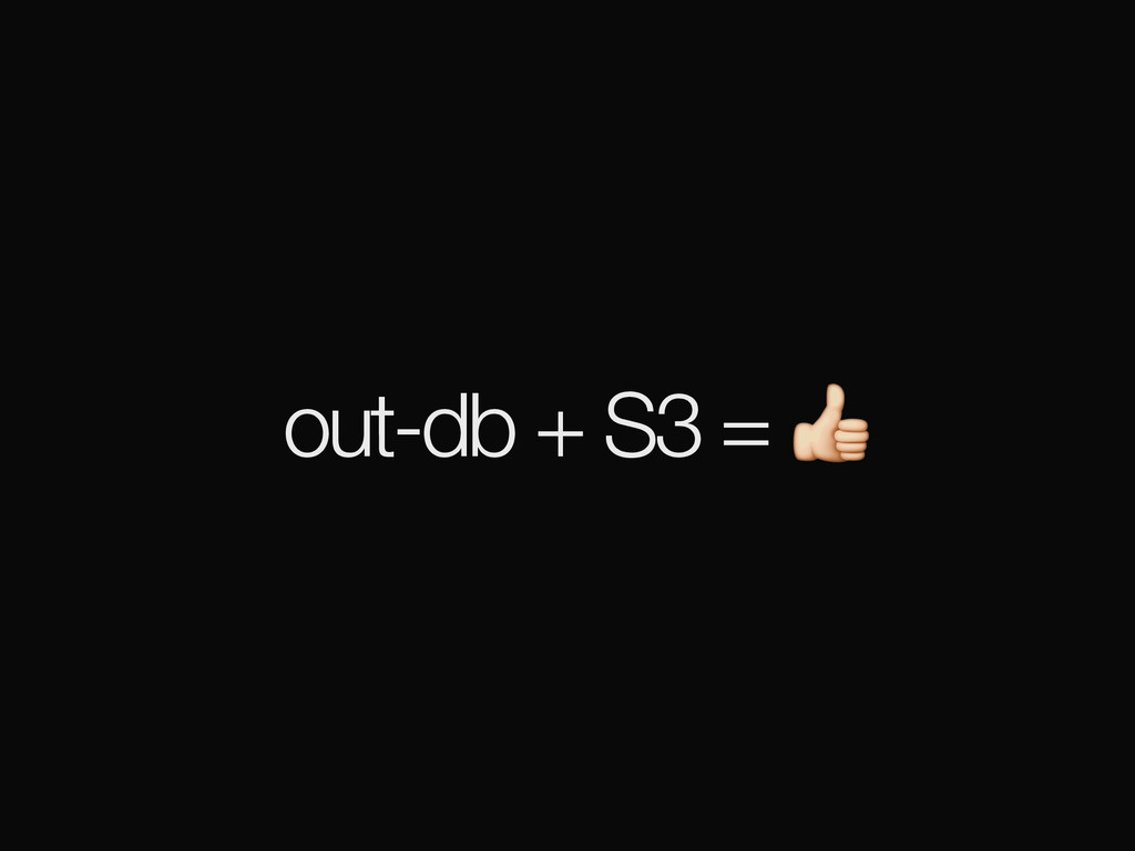
out-db + S3 =
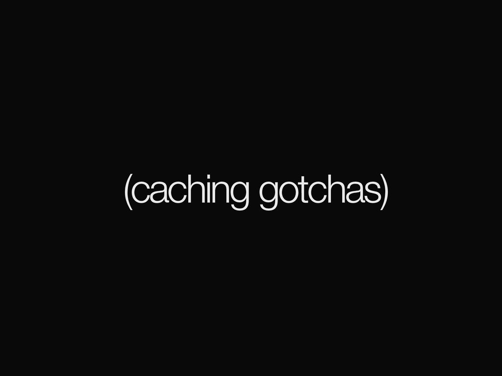
(caching gotchas)
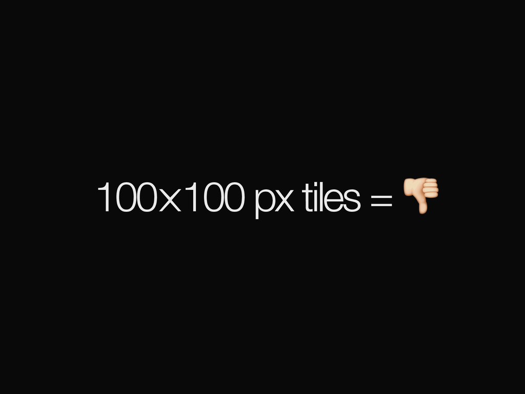
100⨉100 px tiles =
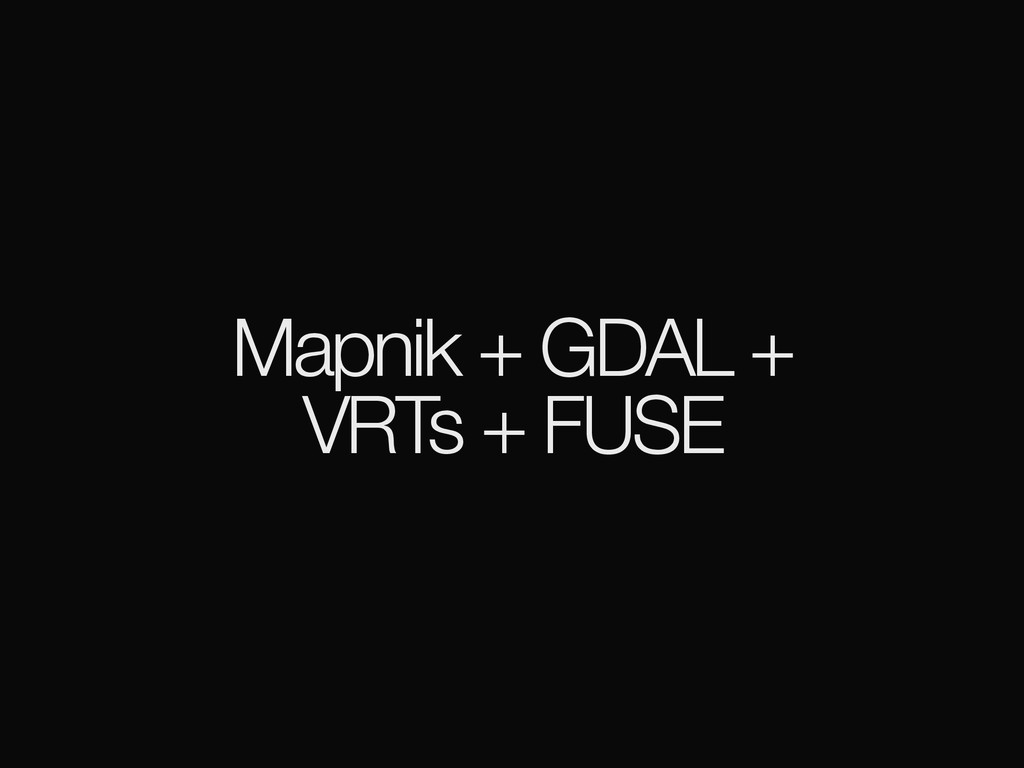
Mapnik + GDAL + VRTs + FUSE
Filesystem in User Space
None
None
[access]
empowering journalists
CartoDB
None
None
help tell stories
support pipeline reuse
None
let’s figure this thing out!
[email protected]
openterrain.tumblr.com
![[intro]](https://files.speakerdeck.com/presentations/a47553aba0c04949a3e5be2985f5baa2/slide_1.jpg)
![[background]](https://files.speakerdeck.com/presentations/a47553aba0c04949a3e5be2985f5baa2/slide_11.jpg)
![[terrain]](https://files.speakerdeck.com/presentations/a47553aba0c04949a3e5be2985f5baa2/slide_36.jpg)
![[architecture]](https://files.speakerdeck.com/presentations/a47553aba0c04949a3e5be2985f5baa2/slide_53.jpg)
![[access]](https://files.speakerdeck.com/presentations/a47553aba0c04949a3e5be2985f5baa2/slide_71.jpg)
![let’s figure this thing out! [email protected] openterrain.tumblr.com](https://files.speakerdeck.com/presentations/a47553aba0c04949a3e5be2985f5baa2/slide_79.jpg)