Upgrade to Pro
— share decks privately, control downloads, hide ads and more …
Speaker Deck
Sign up for free
Menu
Search
Features
All features
Private URLs
Password Protection
Custom URLS
Scheduled publishing
Remove Branding
Restrict embedding
Deck Collections
Notes
Features
All features
Private URLs
Password Protection
Custom URLS
Scheduled publishing
Remove Branding
Restrict embedding
Deck Collections
Notes
Explore
Featured decks
Featured speakers
Programming
Technology
Storyboards
Explore
Featured decks
Featured speakers
Programming
Technology
Storyboards
Pricing
Search
Sign in
Sign up for free
GRASS使ってみたい
Search
Keita Uemori
September 15, 2026
260
0
Share
Embed
Copy iframe code
Copy JS code
Copy link
Start on current slide
GRASS使ってみたい
Keita Uemori
September 15, 2026
More Decks by Keita Uemori
See All by Keita Uemori
QGIS in Your Language
salamanderezo
1
250
Featured
See All Featured
SEO in 2025: How to Prepare for the Future of Search
ipullrank
3
3.9k
What’s in a name? Adding method to the madness
productmarketing
PRO
24
4.2k
Introduction to Domain-Driven Design and Collaborative software design
baasie
1
1k
Why Your Marketing Sucks and What You Can Do About It - Sophie Logan
marketingsoph
0
430
A Soul's Torment
seathinner
8
3.8k
So, you think you're a good person
axbom
PRO
2
2.2k
Breaking role norms: Why Content Design is so much more than writing copy - Taylor Woolridge
uxyall
1
450
Claude Code のすすめ
schroneko
67
230k
What's in a price? How to price your products and services
michaelherold
247
13k
Noah Learner - AI + Me: how we built a GSC Bulk Export data pipeline
techseoconnect
PRO
0
460
How Software Deployment tools have changed in the past 20 years
geshan
2
35k
Ten Tips & Tricks for a 🌱 transition
stuffmc
1
270
Transcript
2026/09/15|MIERUNE MNB #4 GRASS 使ってみたい Keita Uemori
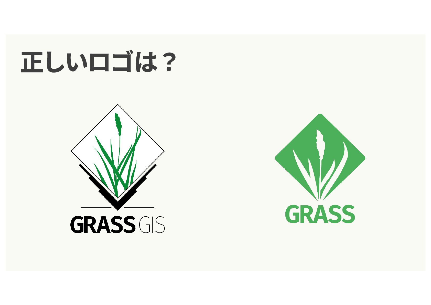
正しいロゴは?
None
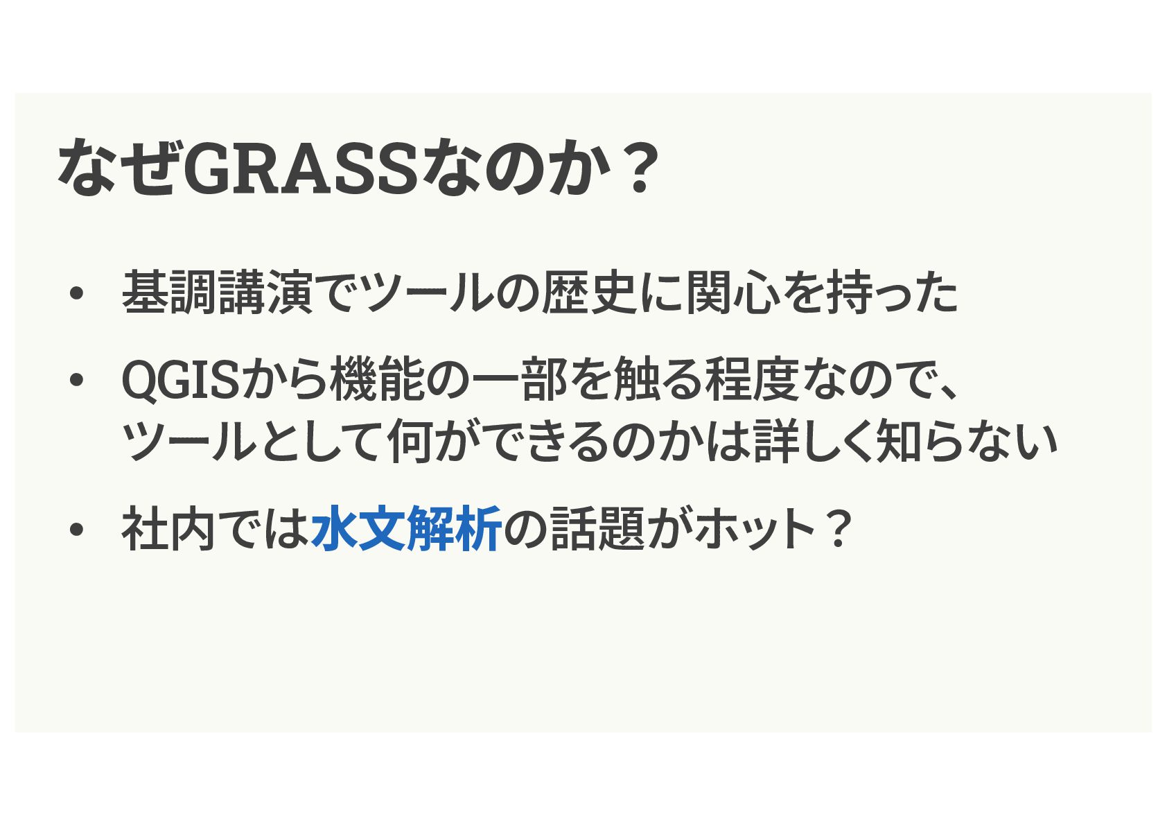
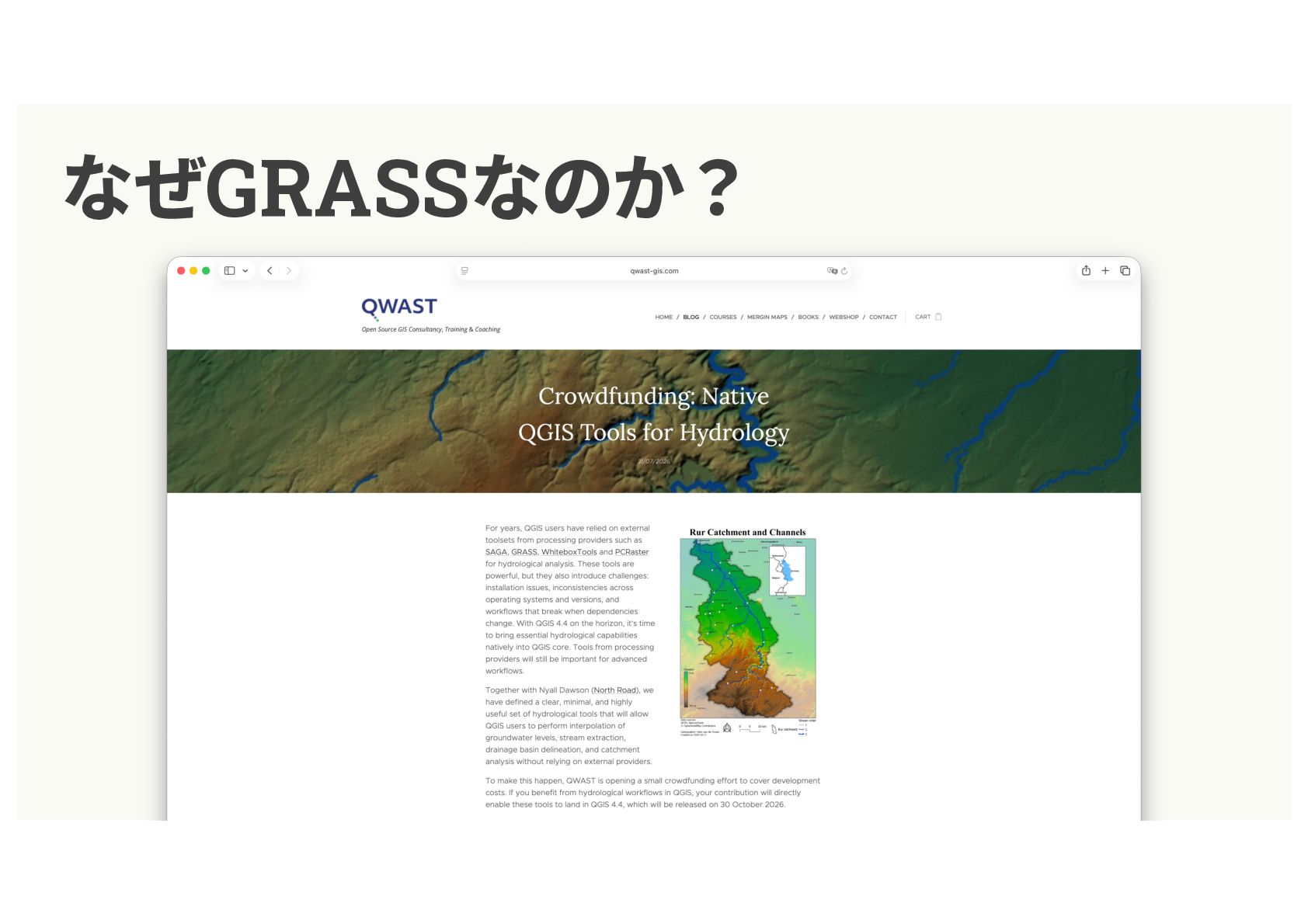
なぜGRASSなのか? • 基調講演でツールの歴史に関⼼を持った • QGISから機能の⼀部を触る程度なので、 ツールとして何ができるのかは詳しく知らない • 社内では⽔⽂解析の話題がホット?
なぜGRASSなのか?
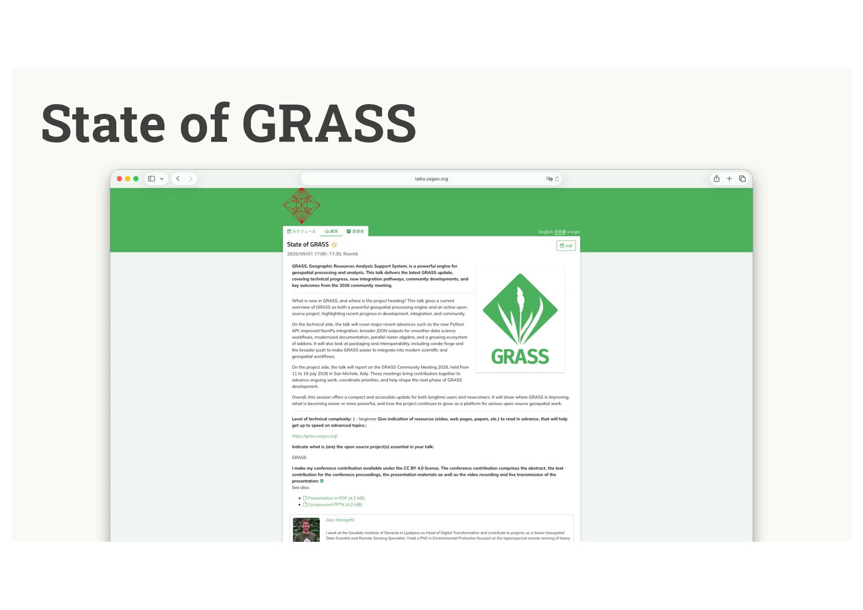
State of GRASS
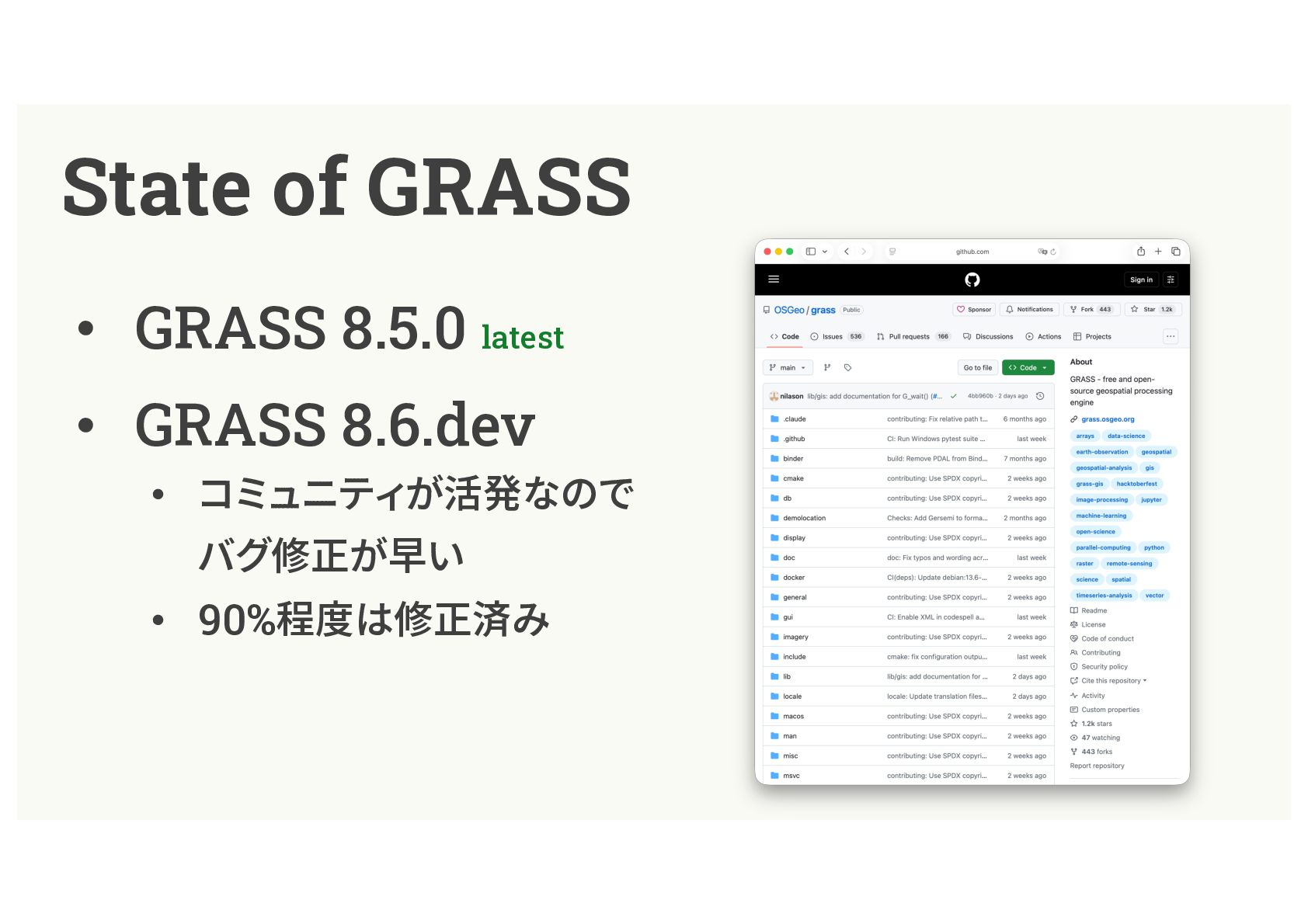
State of GRASS • GRASS 8.5.0 latest • GRASS 8.6.dev
• コミュニティが活発なので バグ修正が早い • 90%程度は修正済み
どんなツールなの? • ⾼度な地理空間モデリングや解析が得意 • ラスタを管理する独⾃のデータベースを持って いるため、⾼速に動作する • 科学的な根拠に基づくツール: 論⽂や公表済みの研究、査読を受けた成果がある
どんなツールなの? • 標準機能 + アドオン 開発したアルゴリズムを公開する場として利⽤する⼈もいる • さまざまな環境から呼び出せる: • Jupyter
Notebook • RStudio:rgrass • C API
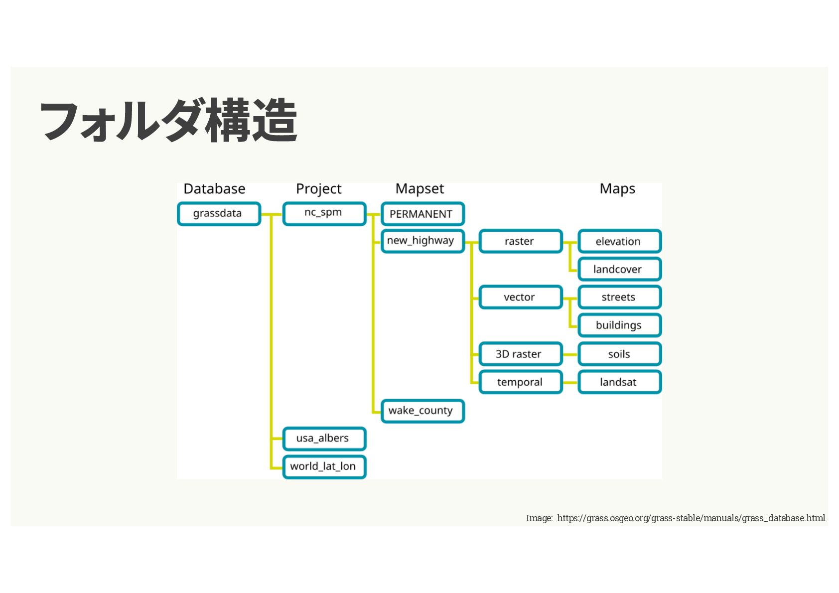
フォルダ構造 Image: https://grass.osgeo.org/grass-stable/manuals/grass_database.html
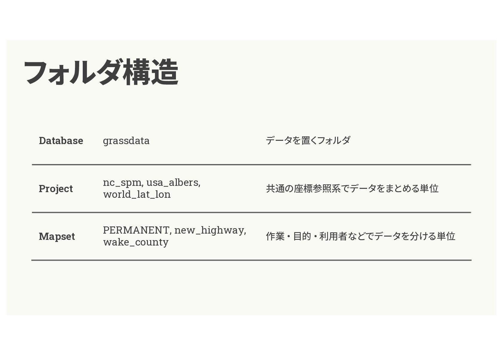
フォルダ構造 Database grassdata データを置くフォルダ Project nc_spm, usa_albers, world_lat_lon 共通の座標参照系でデータをまとめる単位 Mapset
PERMANENT, new_highway, wake_county 作業・⽬的・利⽤者などでデータを分ける単位
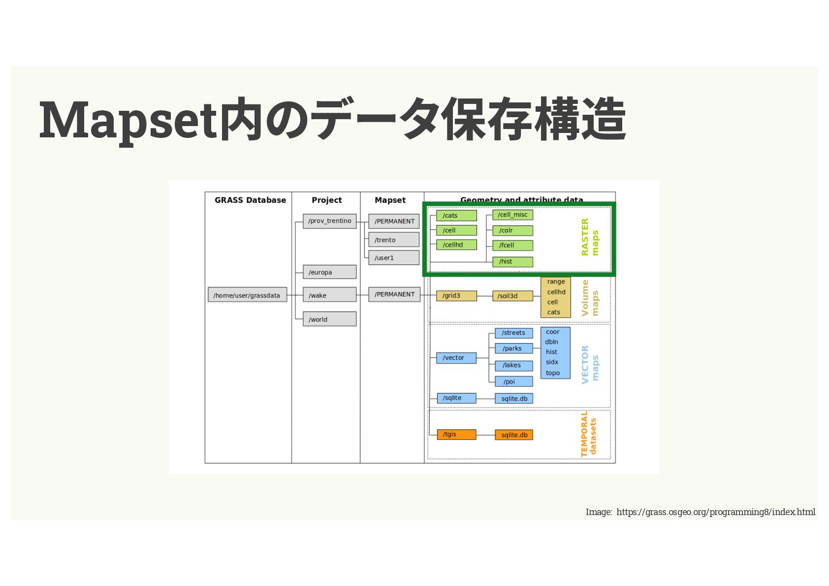
Mapset内のデータ保存構造 Image: https://grass.osgeo.org/programming8/index.html
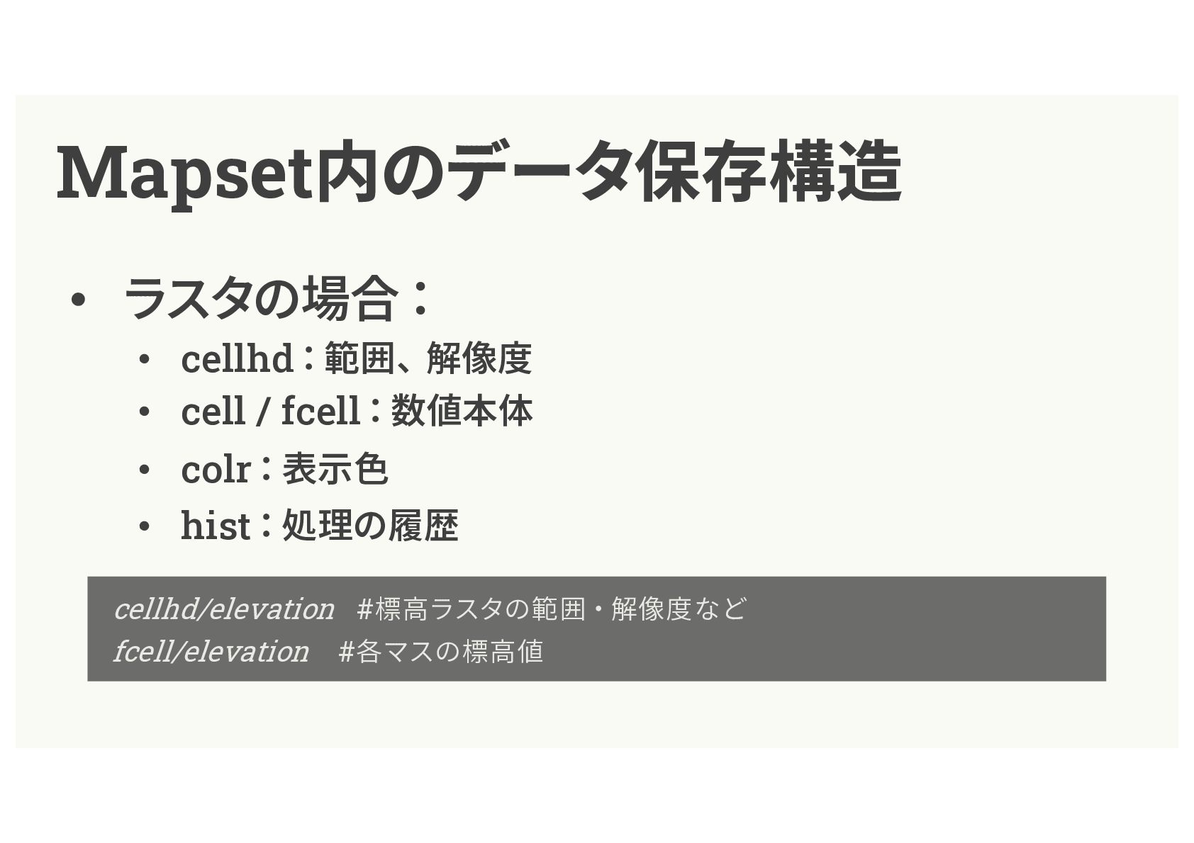
Mapset内のデータ保存構造 • ラスタの場合: • cellhd:範囲、解像度 • cell / fcell:数値本体 •
colr:表⽰⾊ • hist:処理の履歴 cellhd/elevation #標⾼ラスタの範囲・解像度など fcell/elevation #各マスの標⾼値
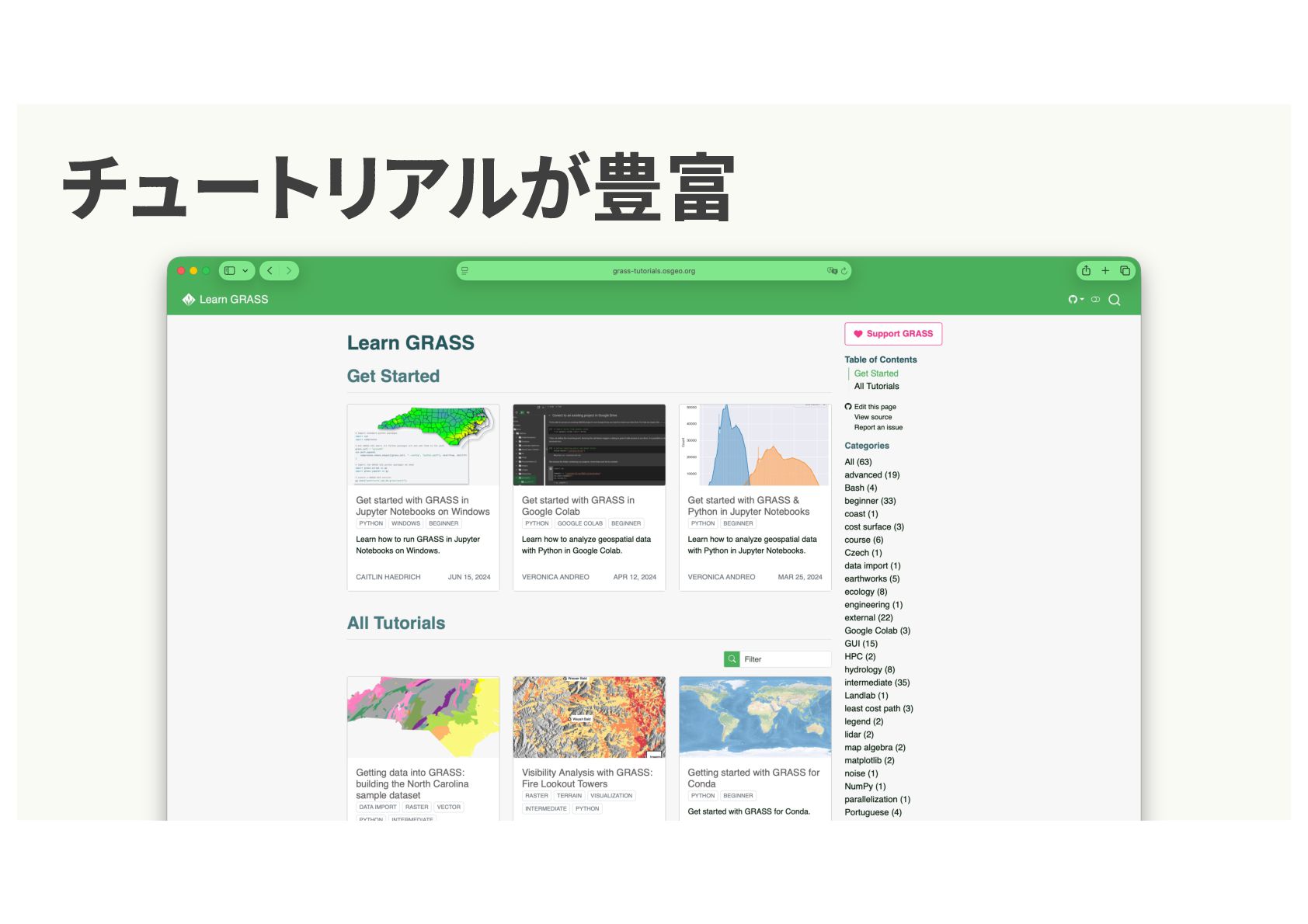
チュートリアルが豊富
demo


 salamanderezo
 ipullrank
 productmarketing
 baasie
 marketingsoph
 seathinner
 axbom
 uxyall
 schroneko
 michaelherold
 techseoconnect
 geshan
 stuffmc