Share
Embed
Environmental Data Retrieval (EDR) For Visualizing CoverageJSON On Maplibre-gl
"Environmental Data Retrieval (EDR) For Visualizing CoverageJSON On Maplibre-gl"
Presentation from Nutthapol Jansuri & Sattawat Arab, i-bitz company limited. in FOSS4G ASIA 2023 at Seoul
Prasong Patheepphoemphong
November 30, 2023
Transcript
25 slides
-
Environmental Data Retrieval (EDR) For Visualizing CoverageJSON On Maplibre-gl Nutthapol
Jansuri | Sattawat Arab Vallaris Maps FOSS4G ASIA SOUL 28 Nov - 2 Dec 2023 -
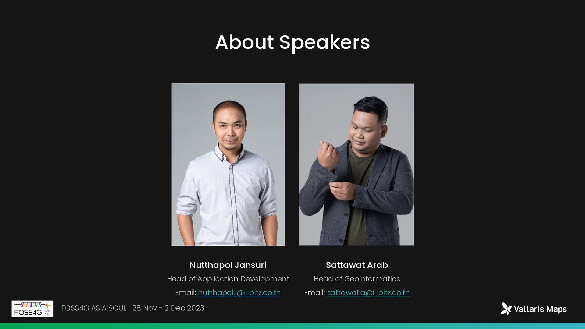
Nutthapol Jansuri Head of Application Development Sattawat Arab Head of
Geoinformatics About Speakers Email: [email protected] Email: [email protected] FOSS4G ASIA SOUL 28 Nov - 2 Dec 2023 -
Create OGC API Environmental Data Retrieval (EDR) Visualizing CoverageJSON (EDR
Data) on Maplibre-gl 01 02 Topics FOSS4G ASIA SOUL 28 Nov - 2 Dec 2023 -
Create OGC API Environmental Data Retrieval (EDR) 01 FOSS4G ASIA
SOUL 28 Nov - 2 Dec 2023 -
Contents Introduction to OGC API - EDR Example using OGC
API - EDR Request EDR data Make your OGC API - EDR 01 02 03 04 FOSS4G ASIA SOUL 28 Nov - 2 Dec 2023 -
OGC API - EDR (ENVIRONMENTAL DATA RETRIEVAL) OGC API -
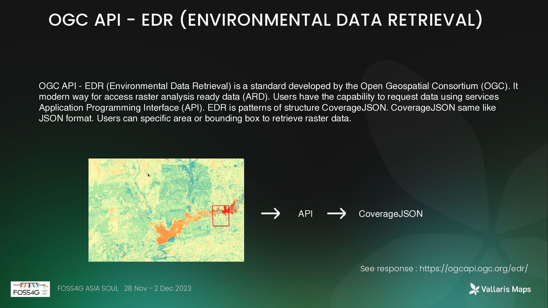
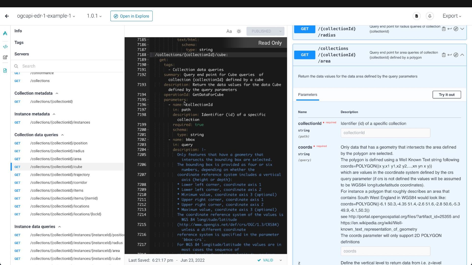
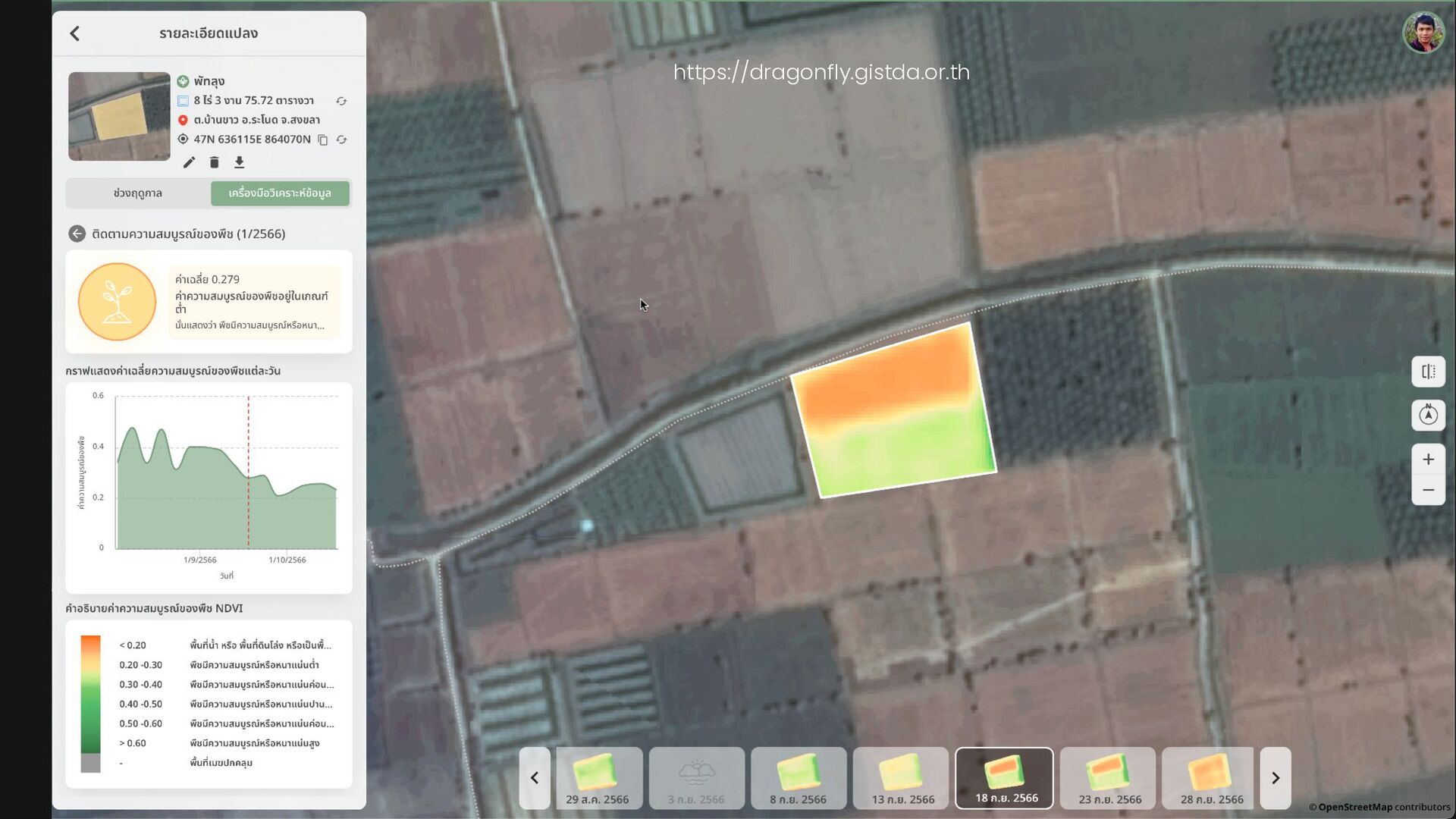
EDR (Environmental Data Retrieval) is a standard developed by the Open Geospatial Consortium (OGC). It modern way for access raster analysis ready data (ARD). Users have the capability to request data using services Application Programming Interface (API). EDR is patterns of structure CoverageJSON. CoverageJSON same like JSON format. Users can specific area or bounding box to retrieve raster data. See response : https://ogcapi.ogc.org/edr/ API CoverageJSON FOSS4G ASIA SOUL 28 Nov - 2 Dec 2023 -
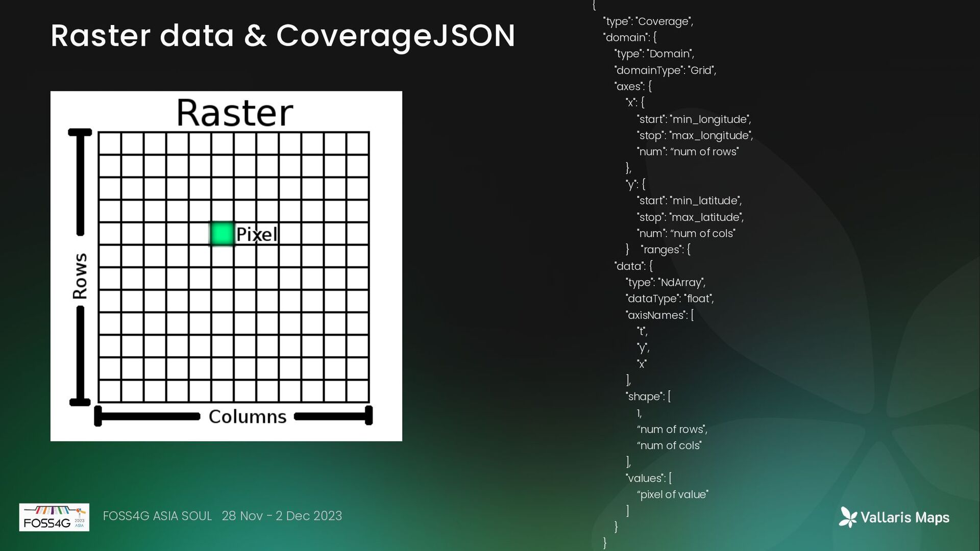
Raster data & CoverageJSON { "type": "Coverage", "domain": { "type":
"Domain", "domainType": "Grid", "axes": { "x": { "start": "min_longitude", "stop": "max_longitude", "num": “num of rows" }, "y": { "start": "min_latitude", "stop": "max_latitude", "num": “num of cols" } "ranges": { "data": { "type": "NdArray", "dataType": "float", "axisNames": [ "t", "y", "x" ], "shape": [ 1, “num of rows", “num of cols" ], "values": [ “pixel of value" ] } } FOSS4G ASIA SOUL 28 Nov - 2 Dec 2023 -
Example using OGC API -EDR OGC API - EDR provides
a flexible mechanism for accessing analysis ready data (ARD) that has been transformed into CoverageJSON using HTTP requests. accessible via the endpoints API. FOSS4G ASIA SOUL 28 Nov - 2 Dec 2023 -
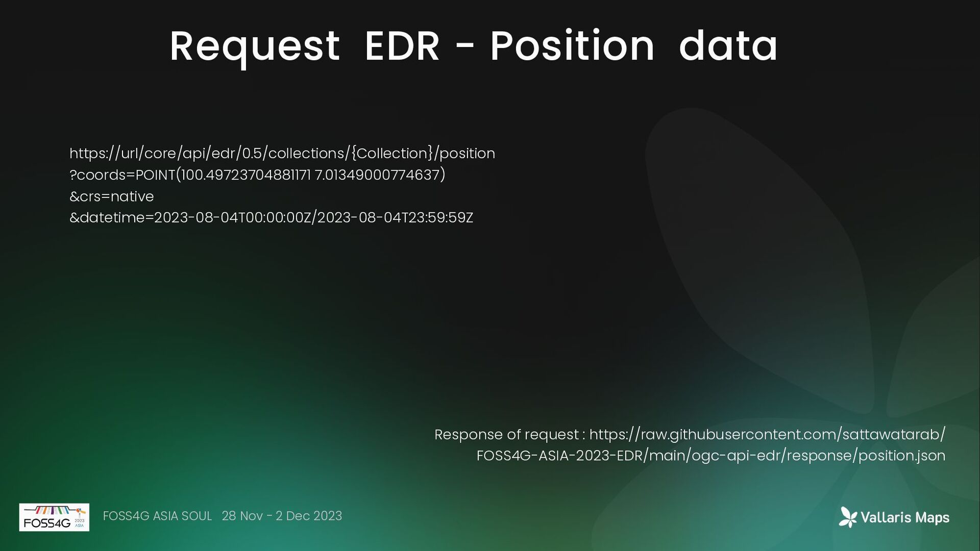
Request EDR - Position data https://url/core/api/edr/0.5/collections/{Collection}/position ?coords=POINT(100.49723704881171 7.01349000774637) &crs=native &datetime=2023-08-04T00:00:00Z/2023-08-04T23:59:59Z
FOSS4G ASIA SOUL 28 Nov - 2 Dec 2023 Response of request : https://raw.githubusercontent.com/sattawatarab/ FOSS4G-ASIA-2023-EDR/main/ogc-api-edr/response/position.json -
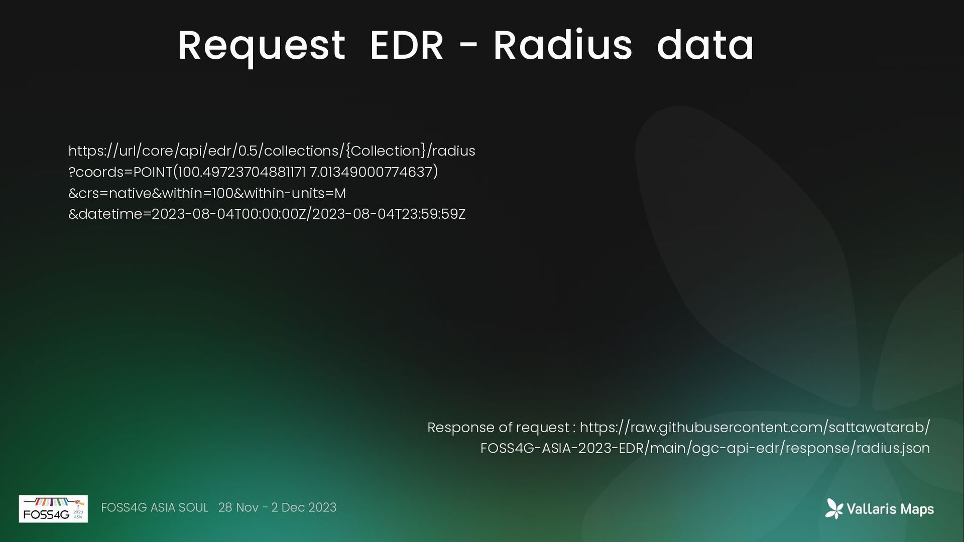
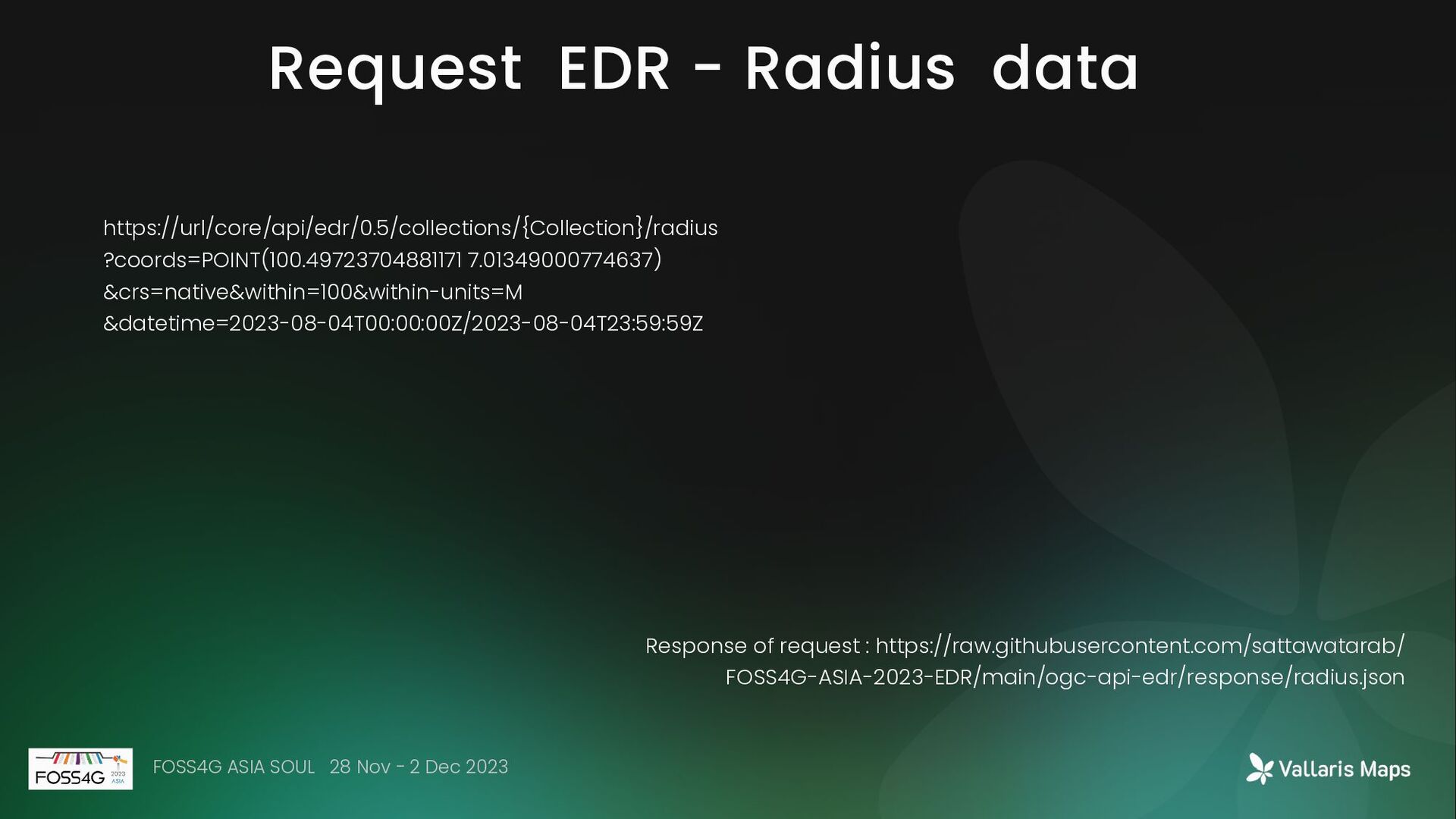
Request EDR - Radius data https://url/core/api/edr/0.5/collections/{Collection}/radius ?coords=POINT(100.49723704881171 7.01349000774637) &crs=native&within=100&within-units=M &datetime=2023-08-04T00:00:00Z/2023-08-04T23:59:59Z
FOSS4G ASIA SOUL 28 Nov - 2 Dec 2023 Response of request : https://raw.githubusercontent.com/sattawatarab/ FOSS4G-ASIA-2023-EDR/main/ogc-api-edr/response/radius.json -
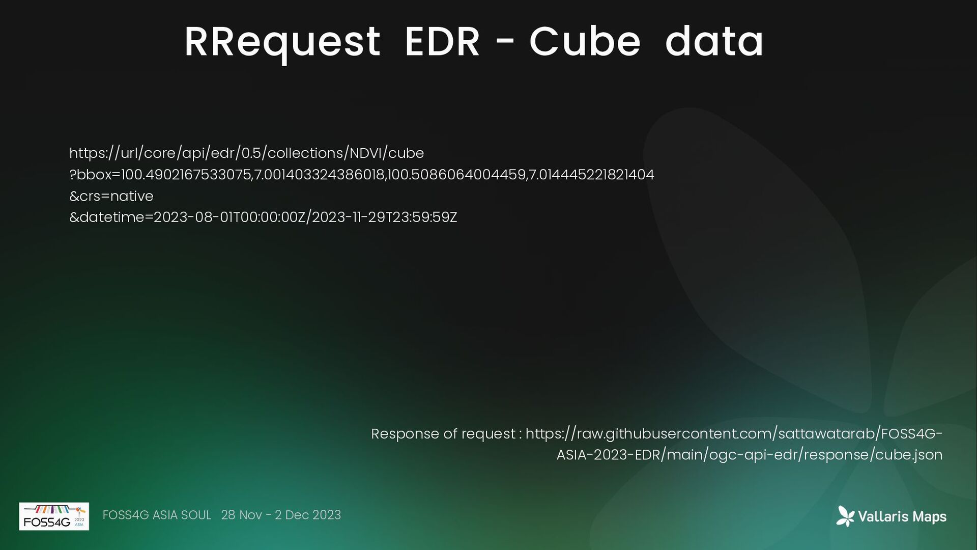
RRequest EDR - Cube data https://url/core/api/edr/0.5/collections/NDVI/cube ?bbox=100.4902167533075,7.001403324386018,100.5086064004459,7.014445221821404 &crs=native &datetime=2023-08-01T00:00:00Z/2023-11-29T23:59:59Z Response
of request : https://raw.githubusercontent.com/sattawatarab/FOSS4G- ASIA-2023-EDR/main/ogc-api-edr/response/cube.json FOSS4G ASIA SOUL 28 Nov - 2 Dec 2023 -
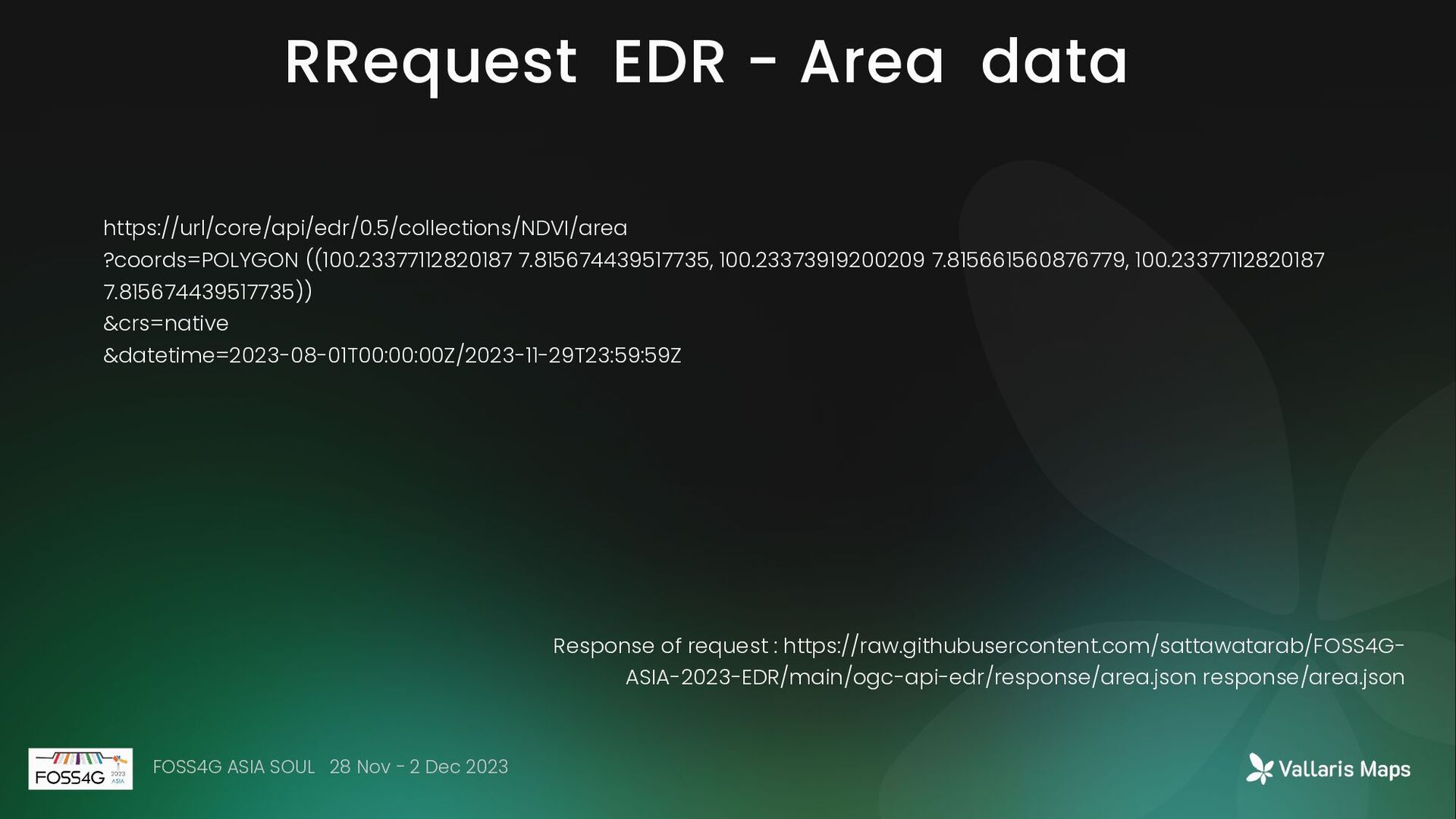
RRequest EDR - Area data https://url/core/api/edr/0.5/collections/NDVI/area ?coords=POLYGON ((100.23377112820187 7.815674439517735, 100.23373919200209
7.815661560876779, 100.23377112820187 7.815674439517735)) &crs=native &datetime=2023-08-01T00:00:00Z/2023-11-29T23:59:59Z Response of request : https://raw.githubusercontent.com/sattawatarab/FOSS4G- ASIA-2023-EDR/main/ogc-api-edr/response/area.json response/area.json FOSS4G ASIA SOUL 28 Nov - 2 Dec 2023 -
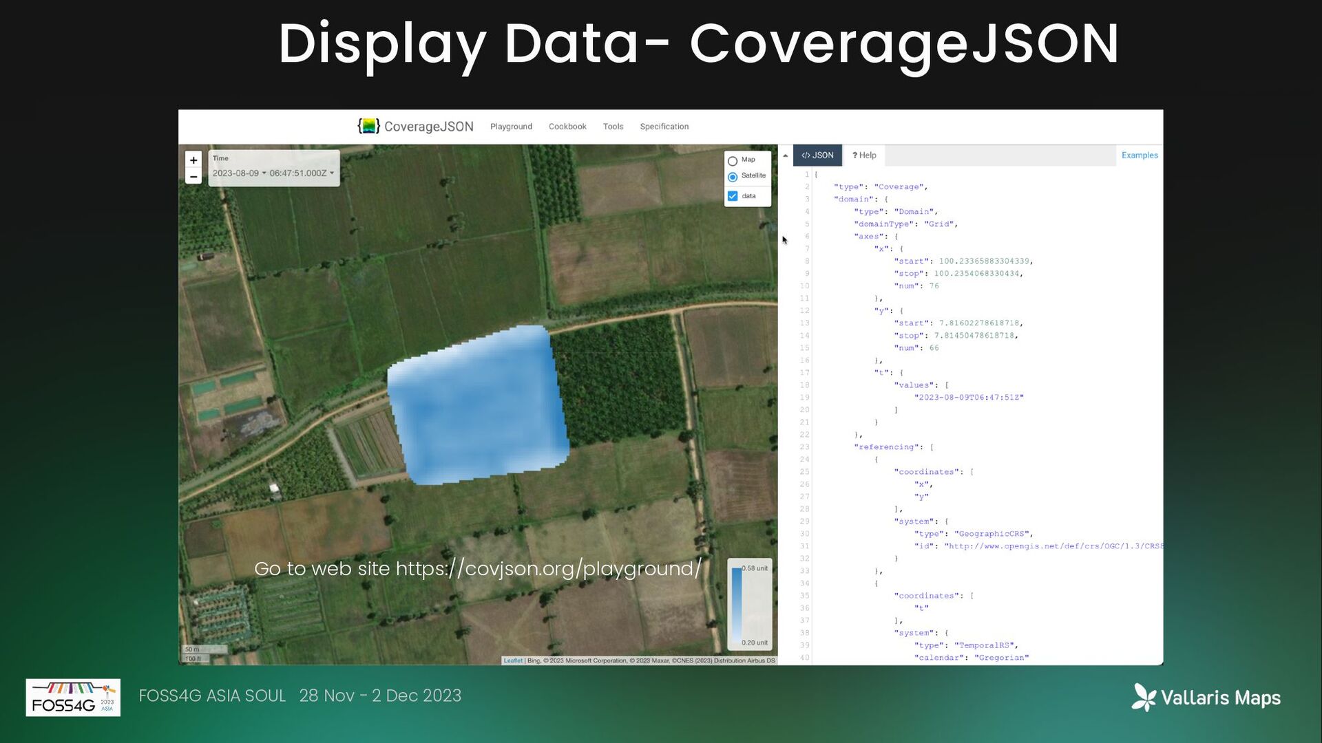
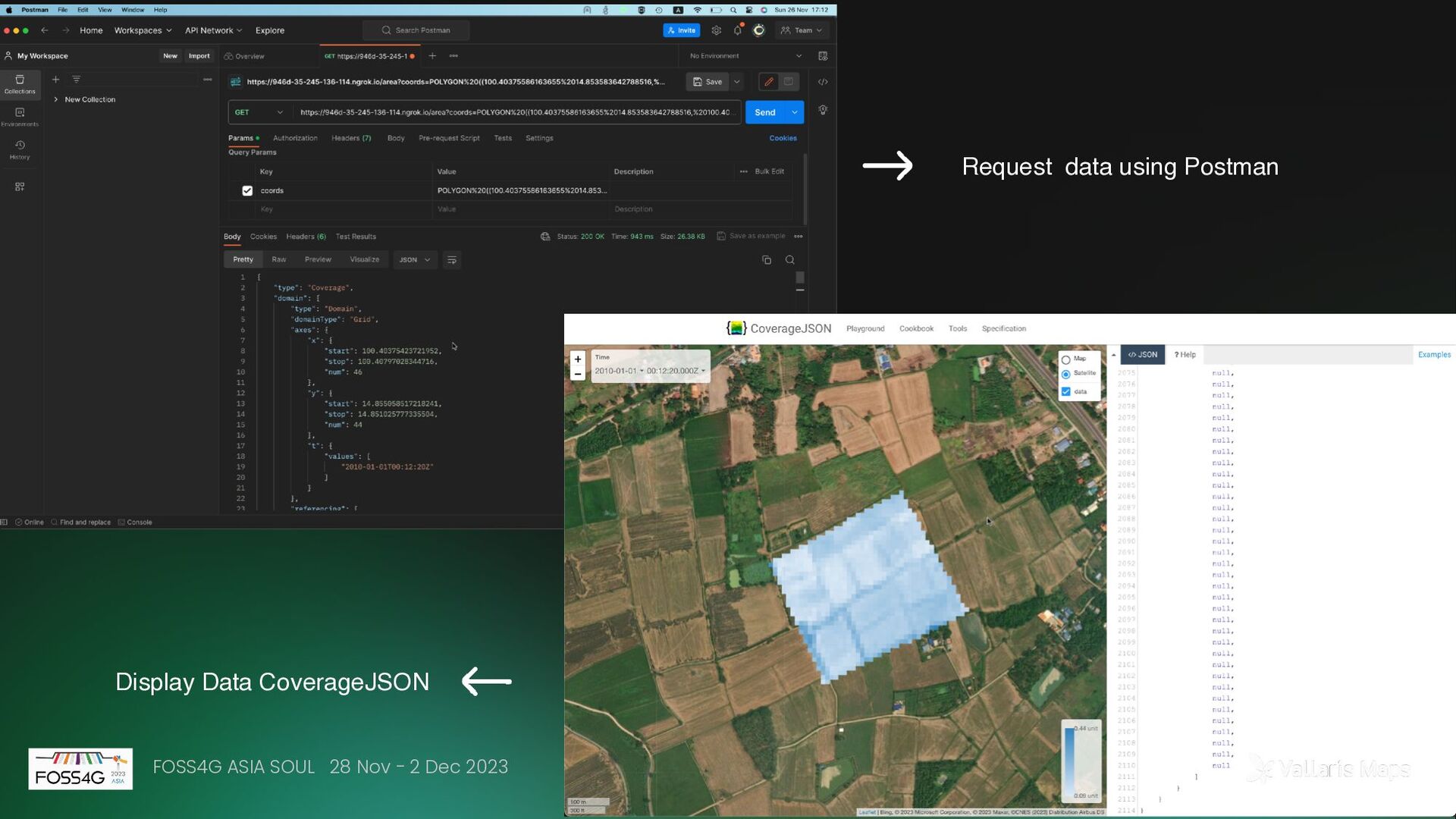
Display Data- CoverageJSON Go to web site https://covjson.org/playground/ FOSS4G ASIA
SOUL 28 Nov - 2 Dec 2023 -
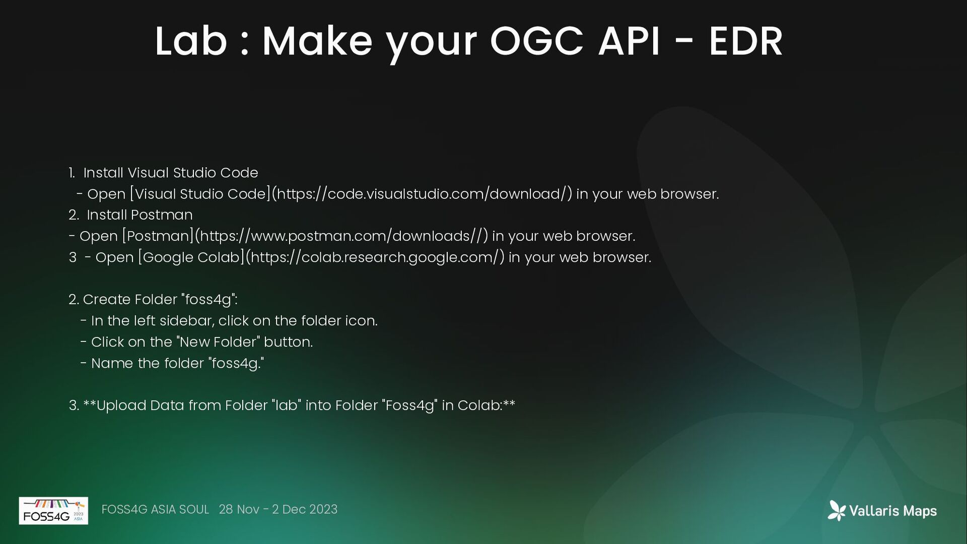
Lab : Make your OGC API - EDR 1. Install
Visual Studio Code - Open [Visual Studio Code](https://code.visualstudio.com/download/) in your web browser. 2. Install Postman - Open [Postman](https://www.postman.com/downloads//) in your web browser. 3 - Open [Google Colab](https://colab.research.google.com/) in your web browser. 2. Create Folder "foss4g": - In the left sidebar, click on the folder icon. - Click on the "New Folder" button. - Name the folder "foss4g." 3. **Upload Data from Folder "lab" into Folder "Foss4g" in Colab:** FOSS4G ASIA SOUL 28 Nov - 2 Dec 2023 -
Request data using Postman Display Data CoverageJSON FOSS4G ASIA SOUL
28 Nov - 2 Dec 2023 -
Visualizing CoverageJSON (EDR Data) On Maplibre-gl 02 FOSS4G ASIA SOUL
28 Nov - 2 Dec 2023 -
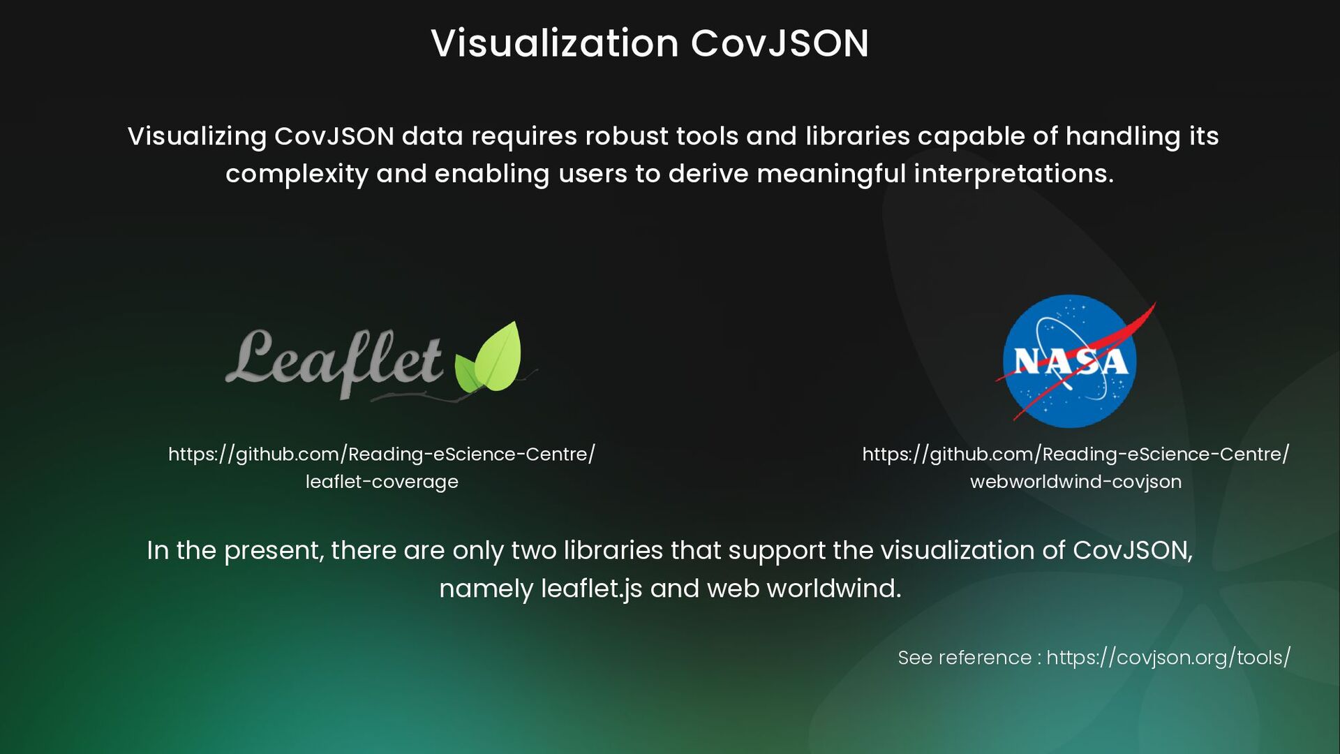
Visualization CovJSON Visualizing CovJSON data requires robust tools and libraries
capable of handling its complexity and enabling users to derive meaningful interpretations. In the present, there are only two libraries that support the visualization of CovJSON, namely leaflet.js and web worldwind. See reference : https://covjson.org/tools/ https://github.com/Reading-eScience-Centre/ leaflet-coverage https://github.com/Reading-eScience-Centre/ webworldwind-covjson -
Visualization CovJSON MapLibre GL is a powerful open-source JavaScript library
for displaying interactive maps, built as a fork of Mapbox GL JS. Leveraging MapLibre GL's capabilities to visualize COVJSON data on interactive maps provides a dynamic way to explore spatial coverages. While MapLibre GL does not have a built-in native support for covJSON, you can utilize its functionalities combined with other JavaScript libraries or custom code to achieve this visualization. https://maplibre.org/ -
Contents Init Next application Example for use covjson-reader package Convert
CovJSON to Raster(PNG) Convert CovJSON to Vector(GeoJSON) 01 02 03 04 FOSS4G ASIA SOUL 28 Nov - 2 Dec 2023 Compare between Raster(PNG) & Vector(GeoJSON) 05