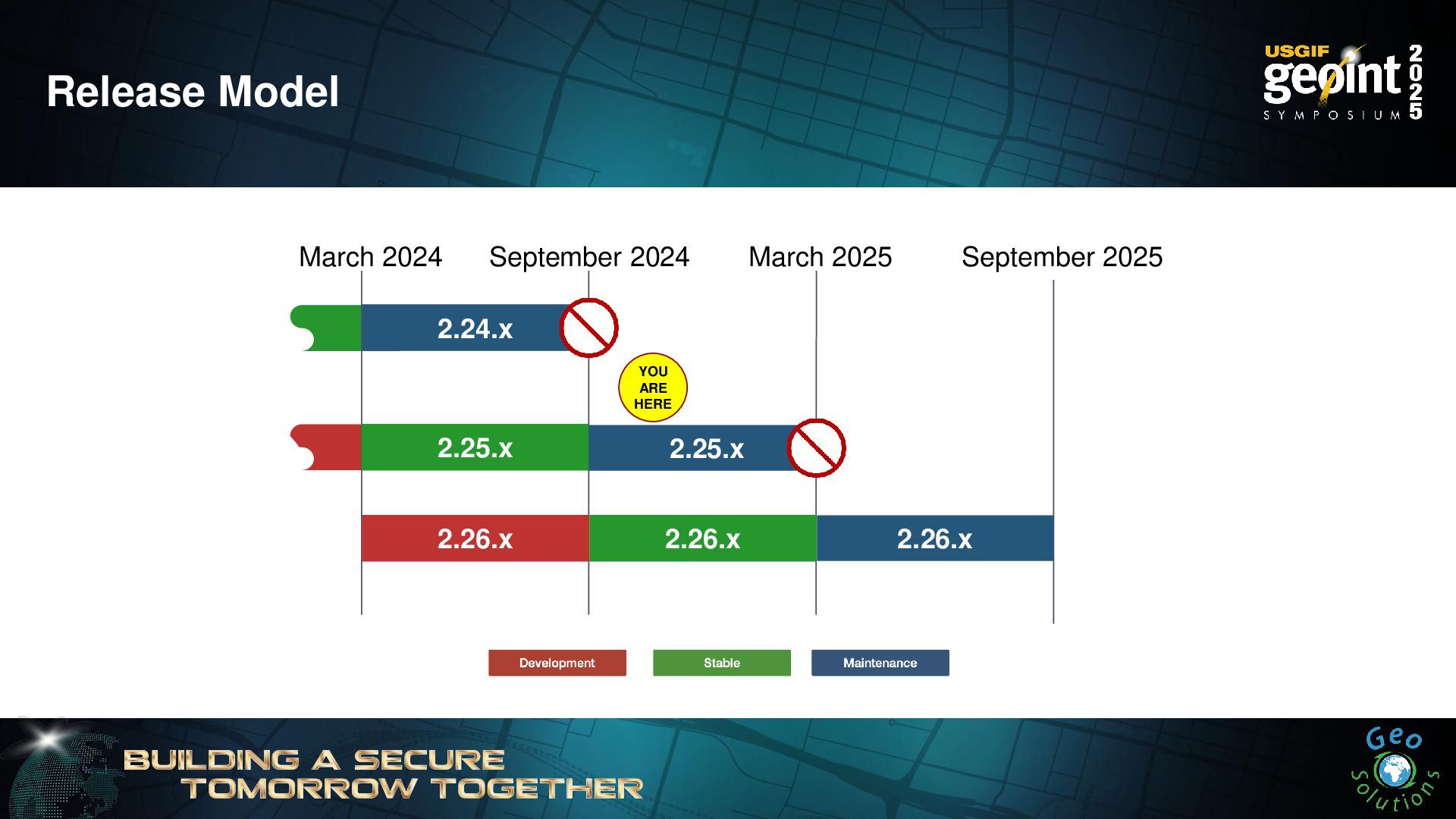
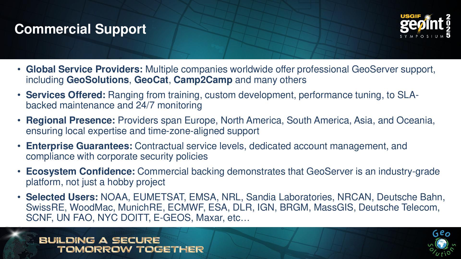
The training provides an introduction to one of the most complete and most widely used open-source products for the geospatial world, GeoServer. For those wishing to build a spatial data infrastructure using open-source products or those simply looking to explore what is out there, we will provide an overview of the GeoServer capabilities in terms of data management, publishing, and dissemination. Topics covered are as follows:
- GeoServer basic concepts
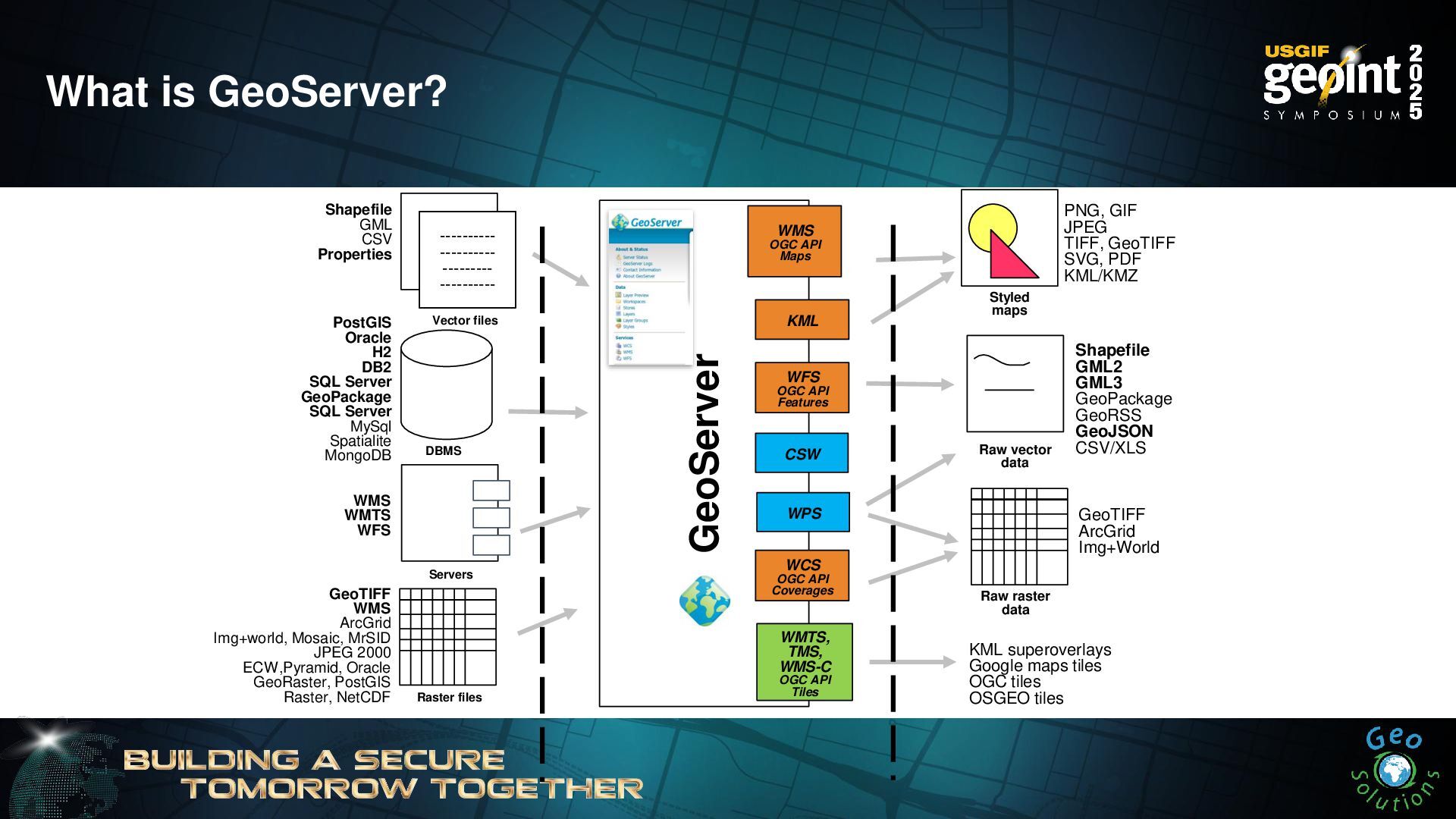
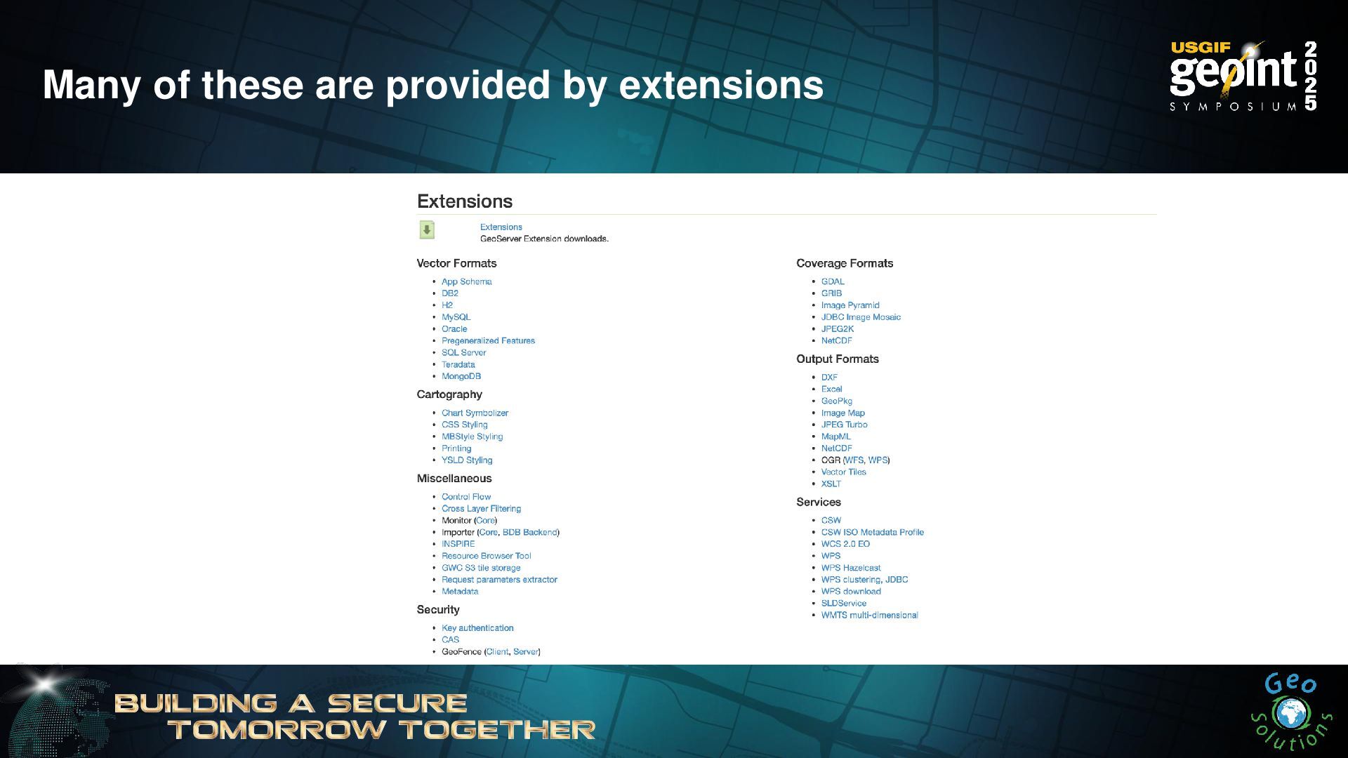
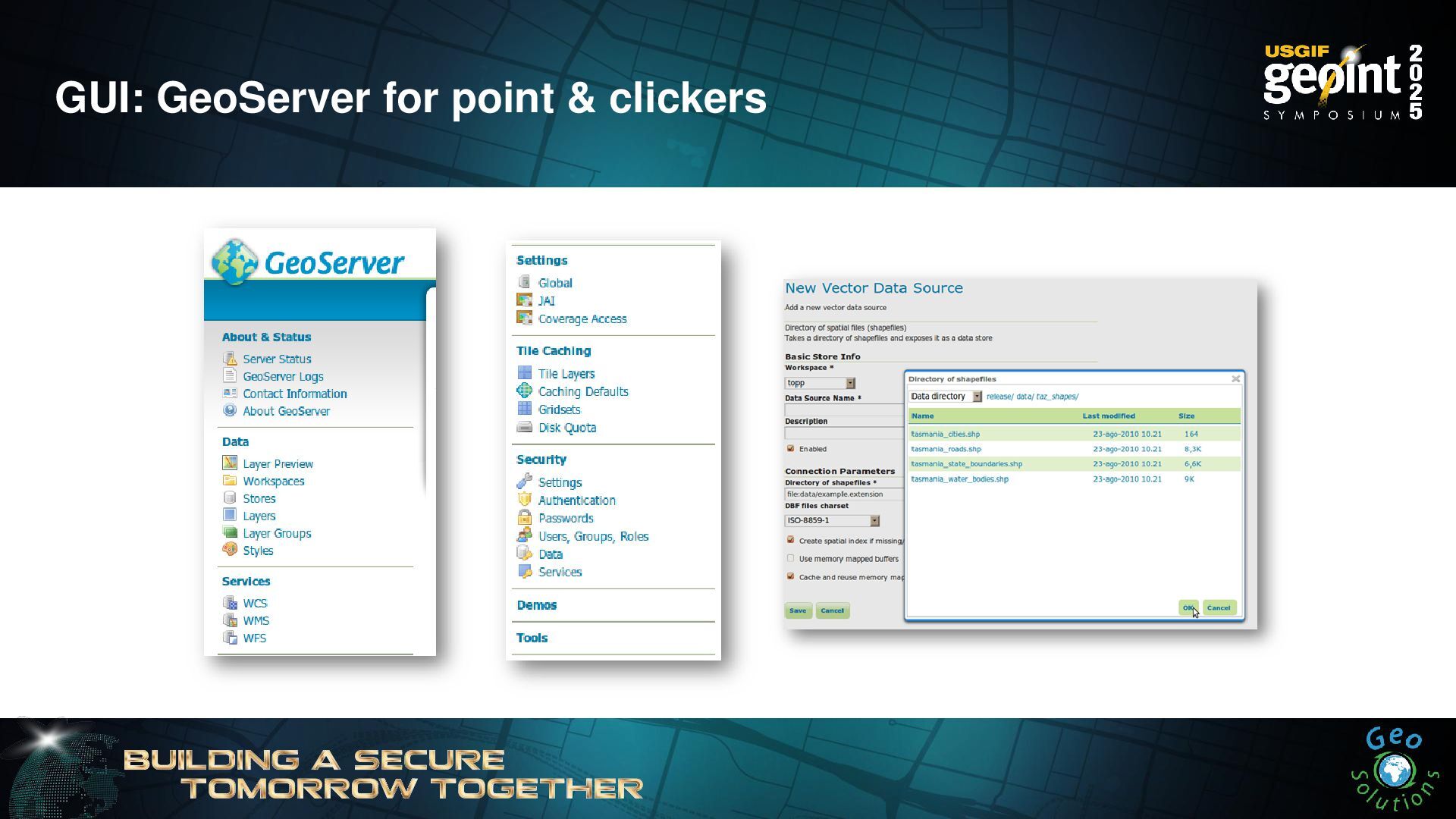
- Guided tour of GeoServer functionalities
- Adding data to GeoServer
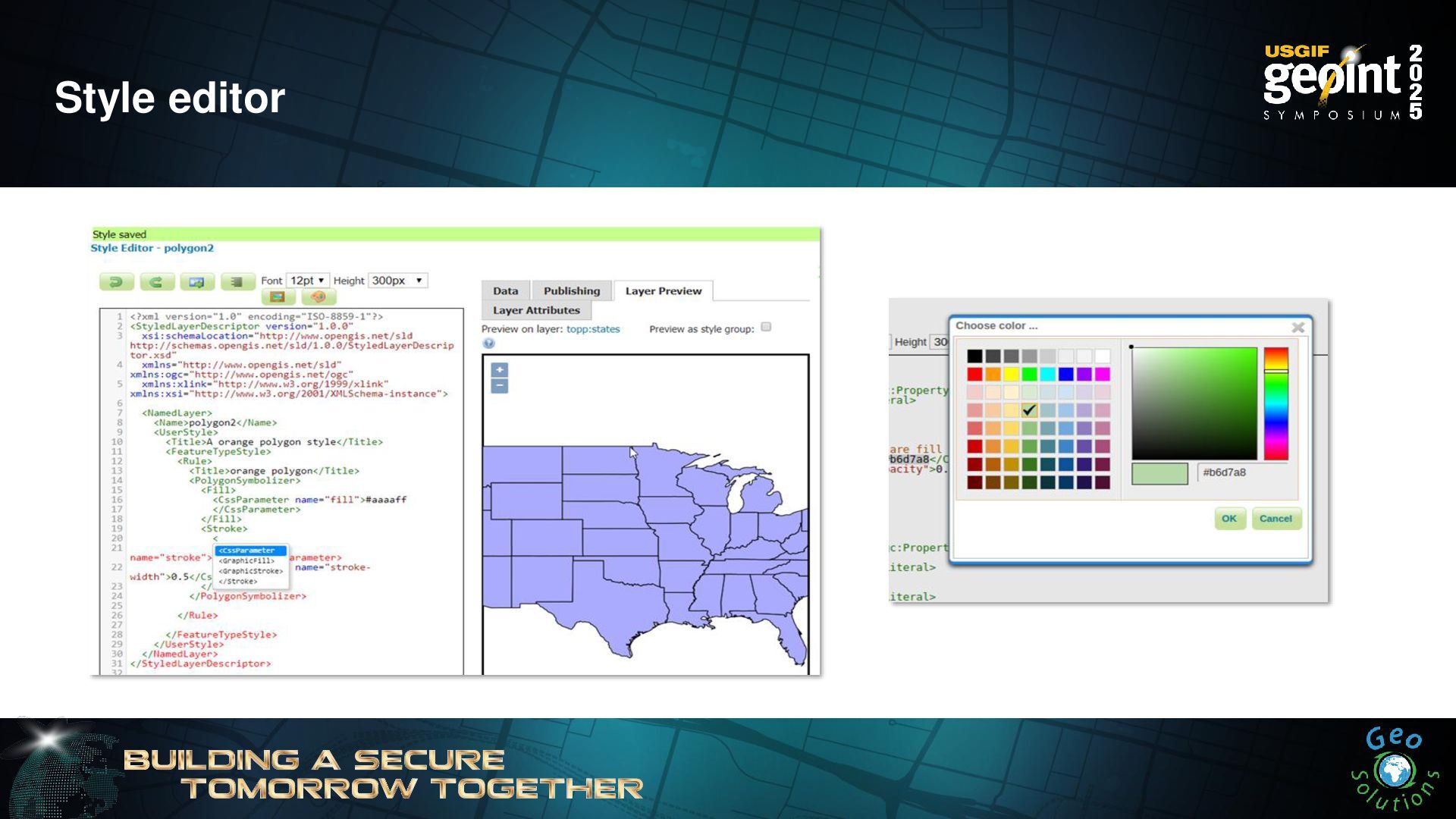
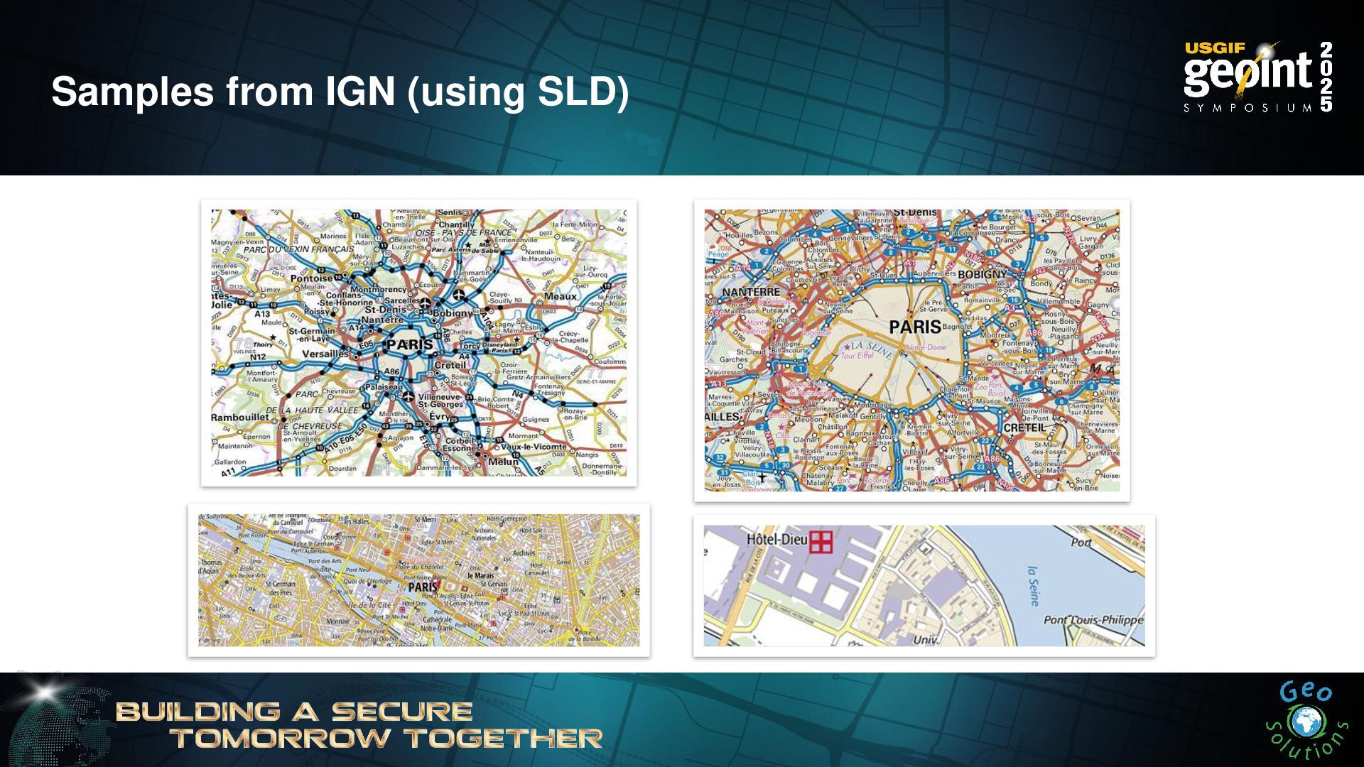
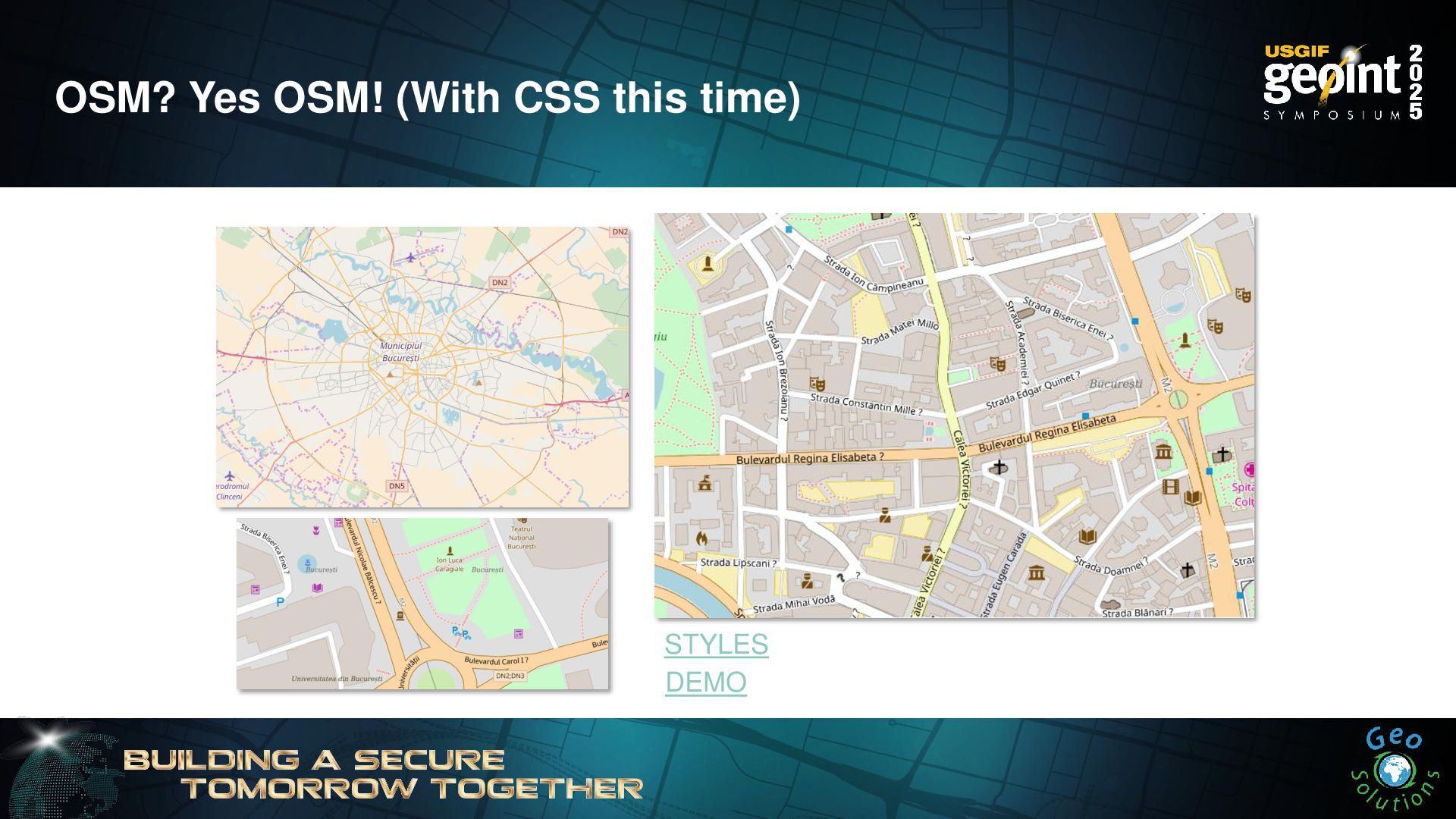
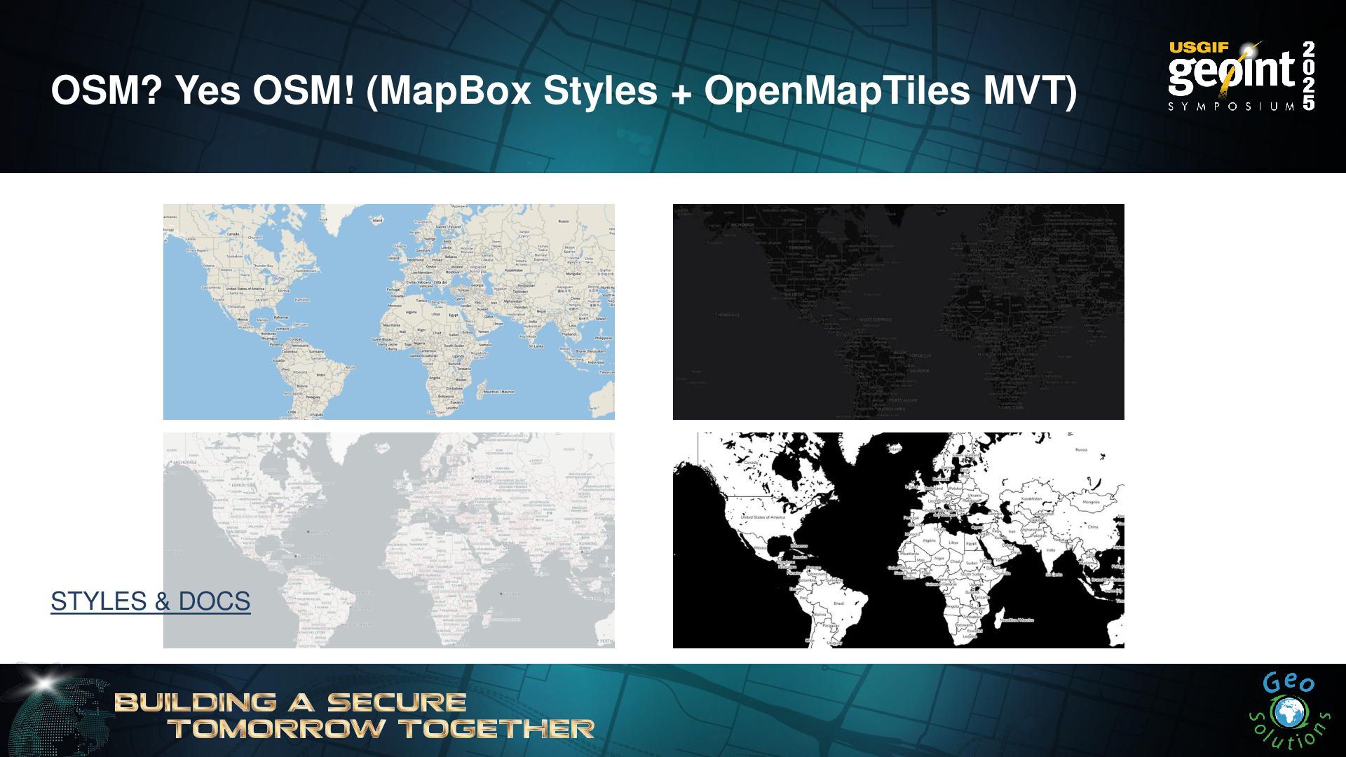
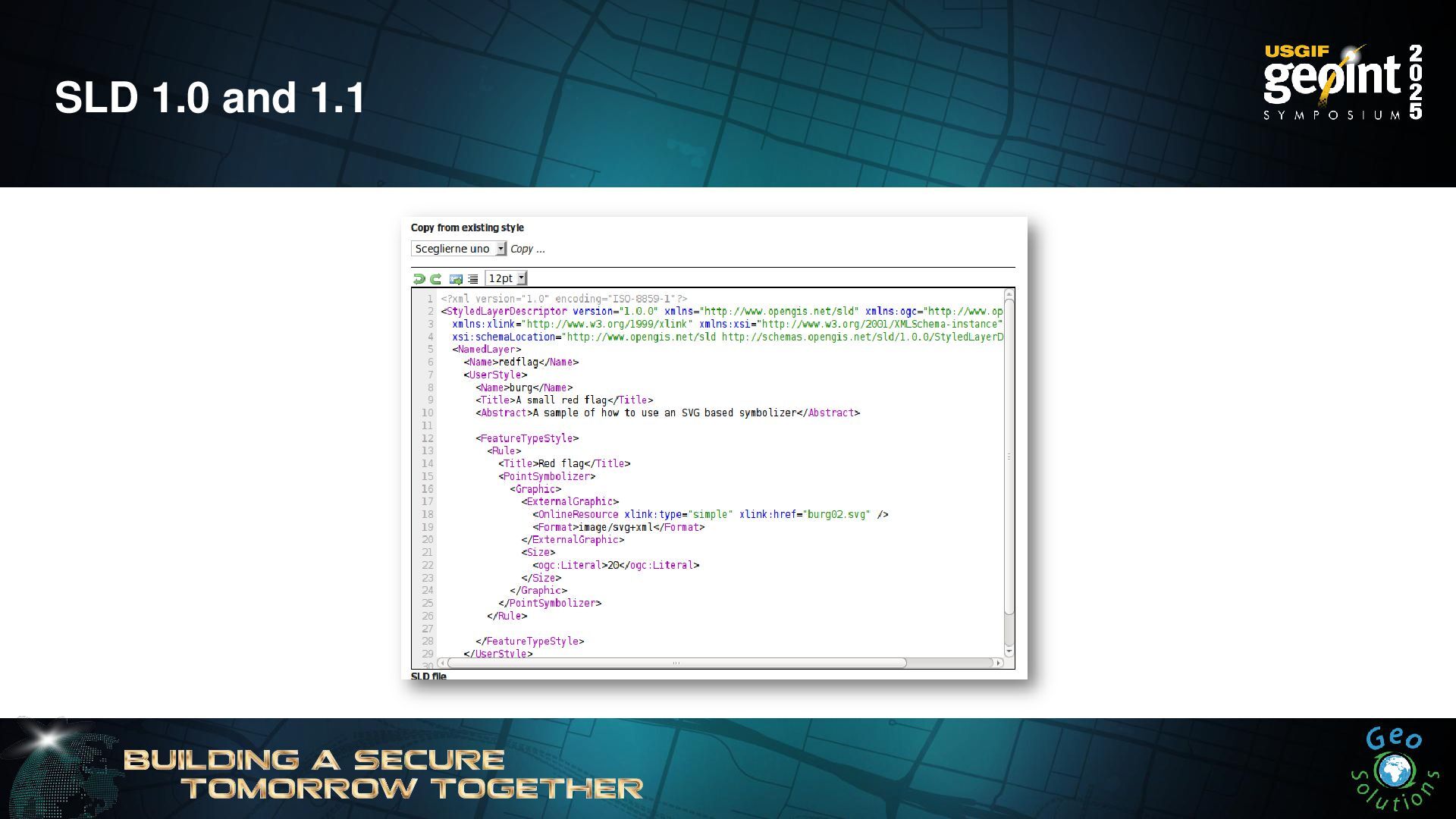
- Styling data with GeoServer
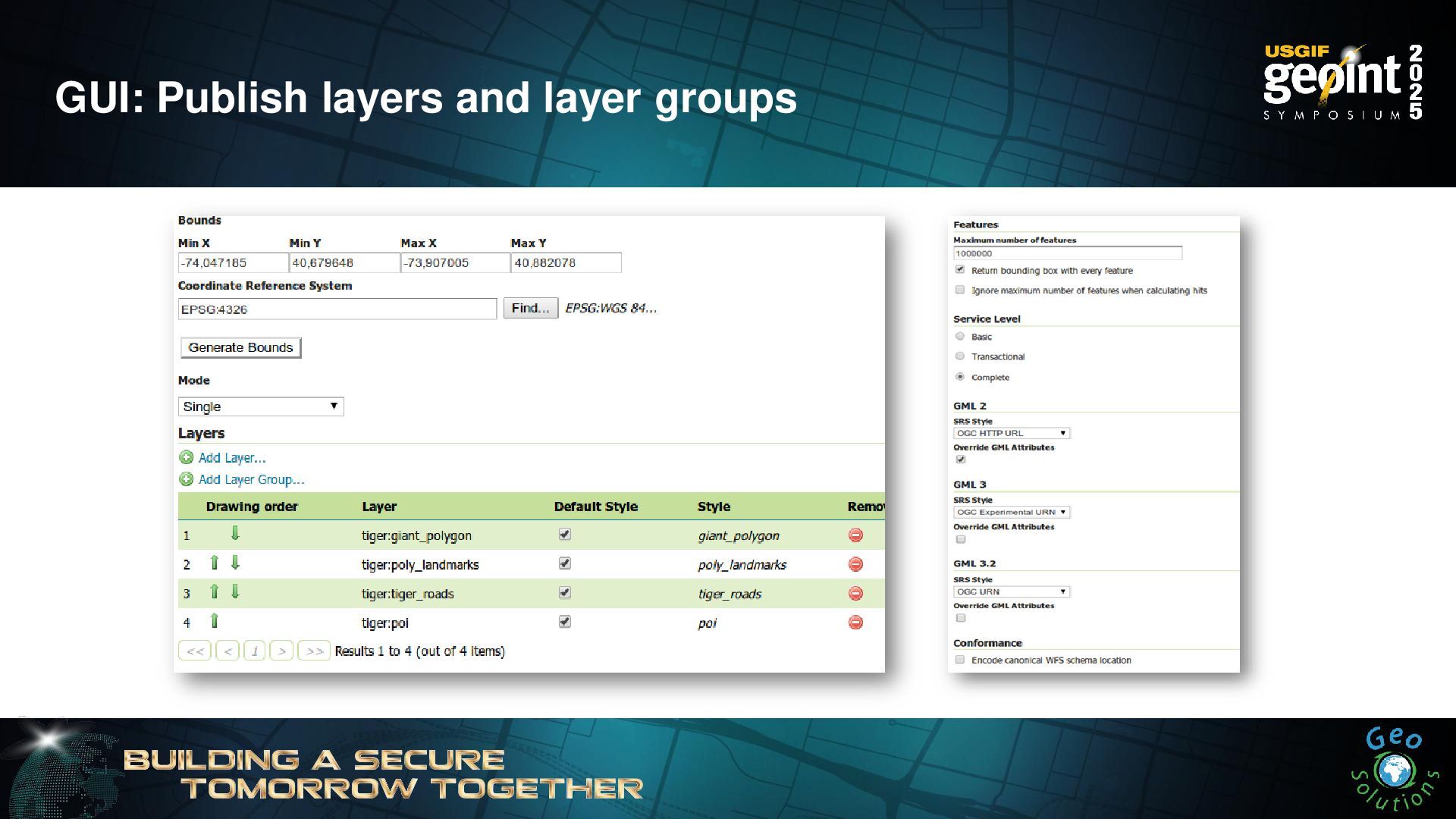
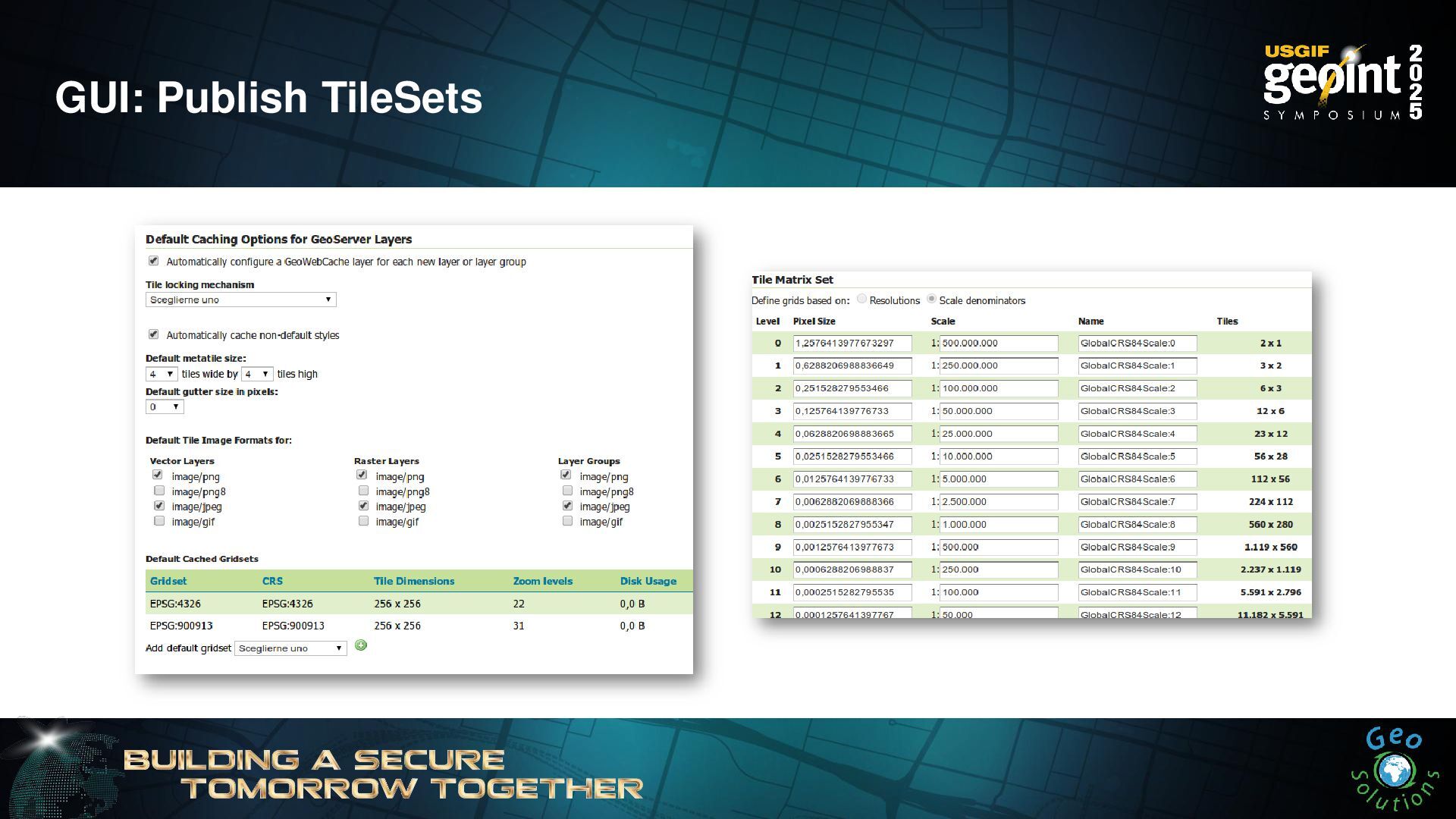
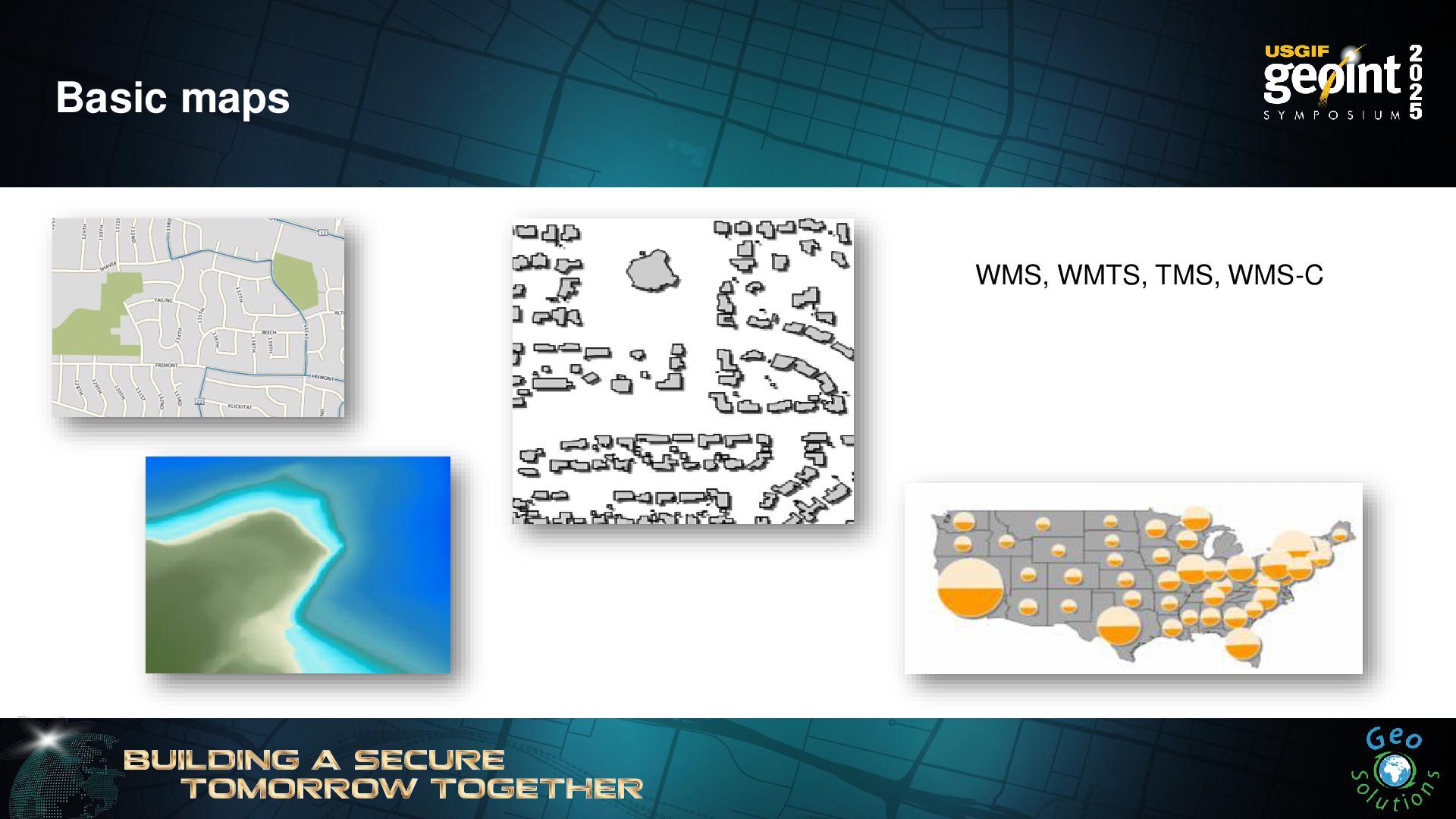
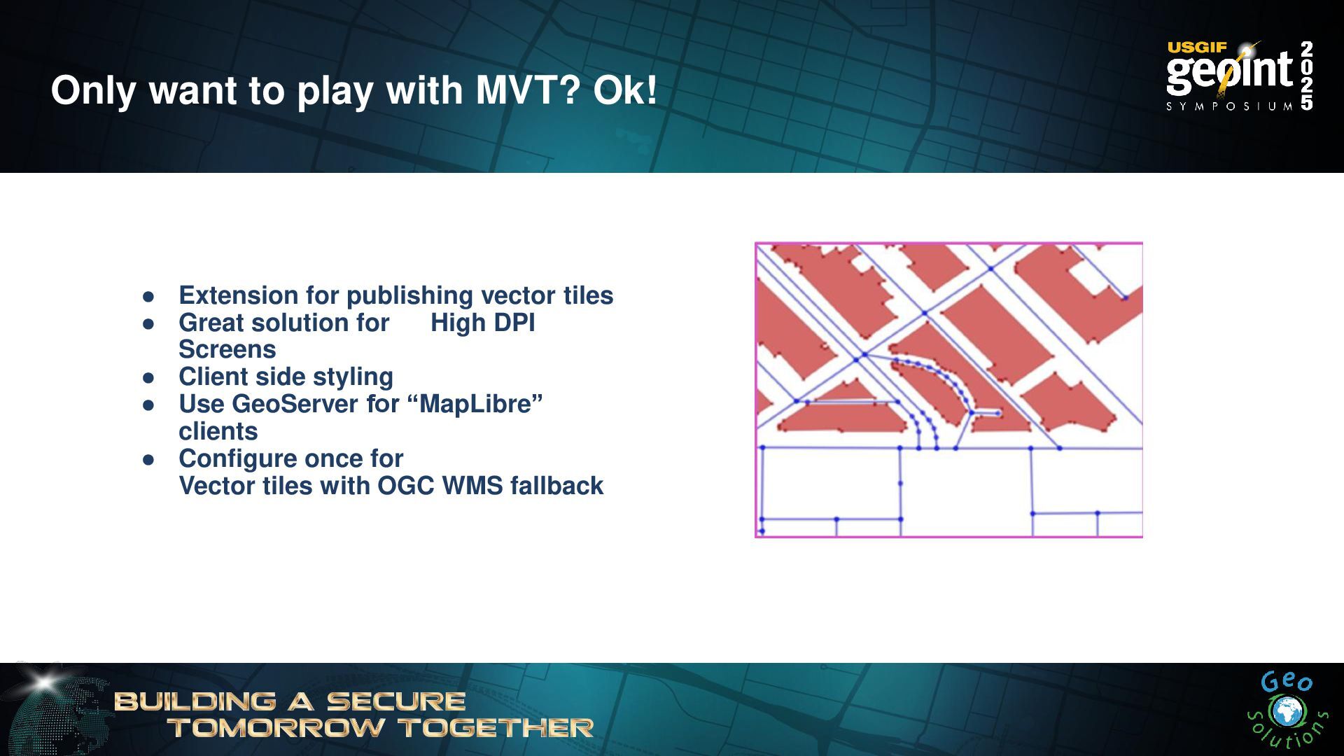
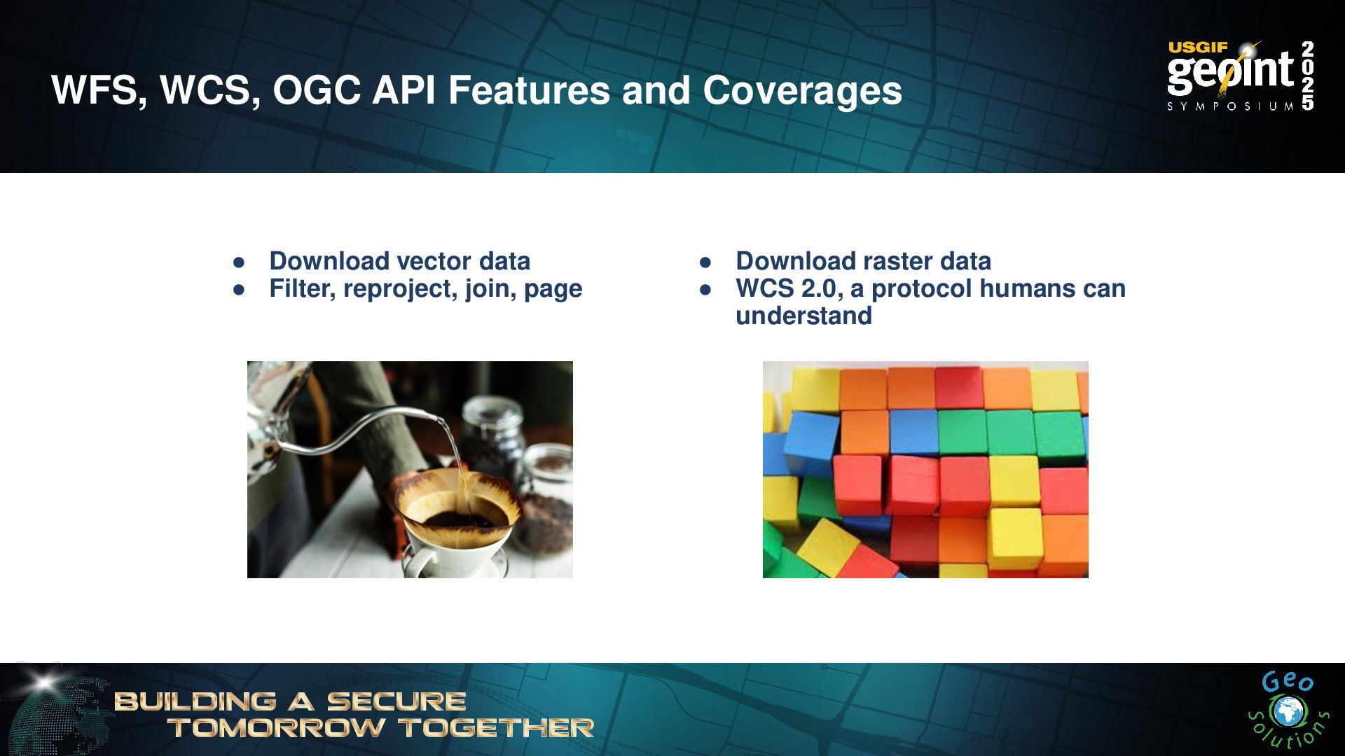
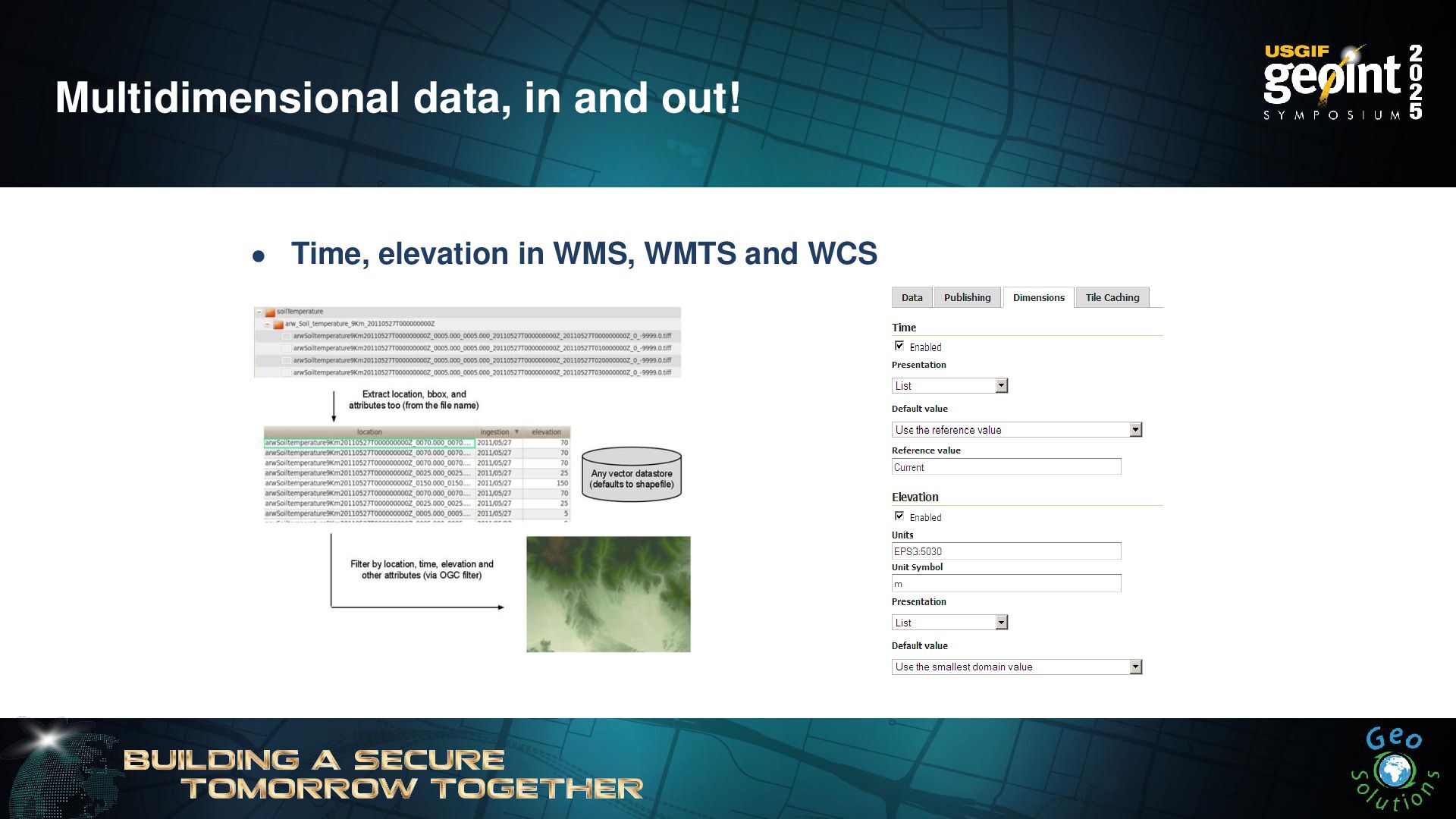
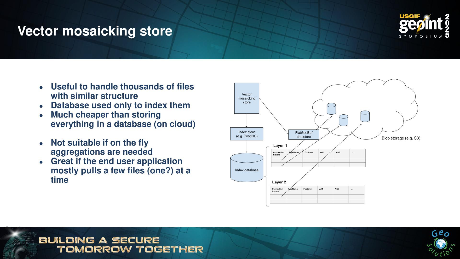
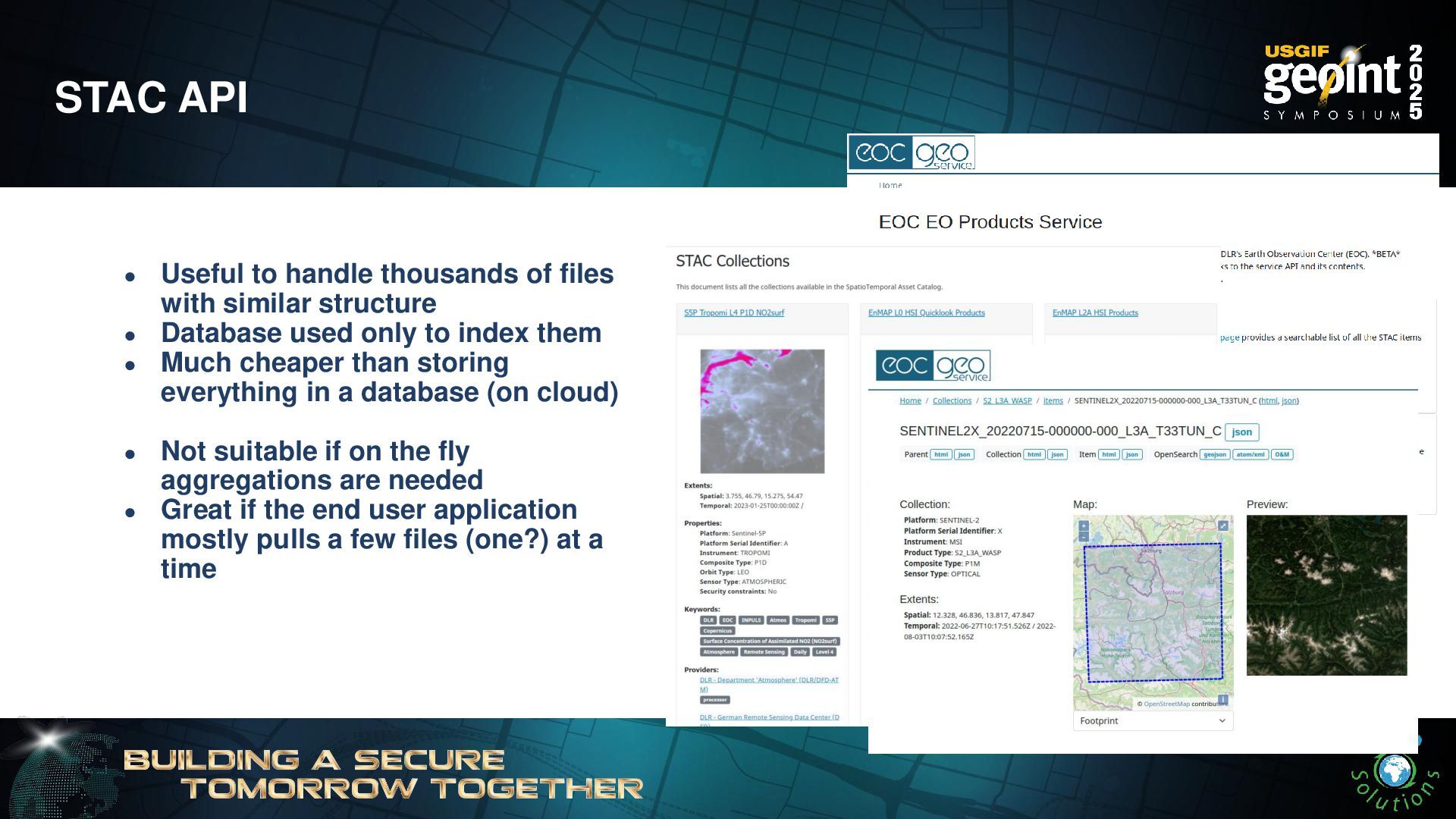
- Disseminating data with GeoServer
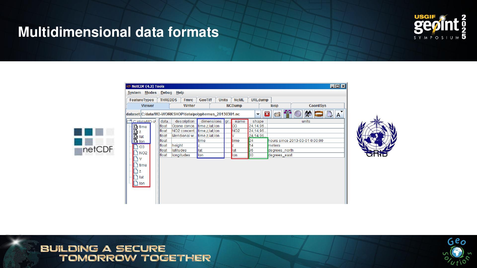
- Modern GIS with GeoServer: STAC, OGC API, and cloud native formats
Learning Objectives: At the end of the training, attendees will be able to grasp the main functionalities of GeoServer like how to load, configure, and style vector and raster data and to create maps and services with them. This would give trainees the basic skills to work with GeoServer to create spatial platforms.
![Simone Giannecchini Founder & Director [email protected] We’d like to thank](https://files.speakerdeck.com/presentations/69e20d19e709410a8d2a5346b13d0a31/slide_2.jpg)
![Jiffle and rendering transformations nir = src[7]; vir = src[3];](https://files.speakerdeck.com/presentations/69e20d19e709410a8d2a5346b13d0a31/slide_62.jpg)