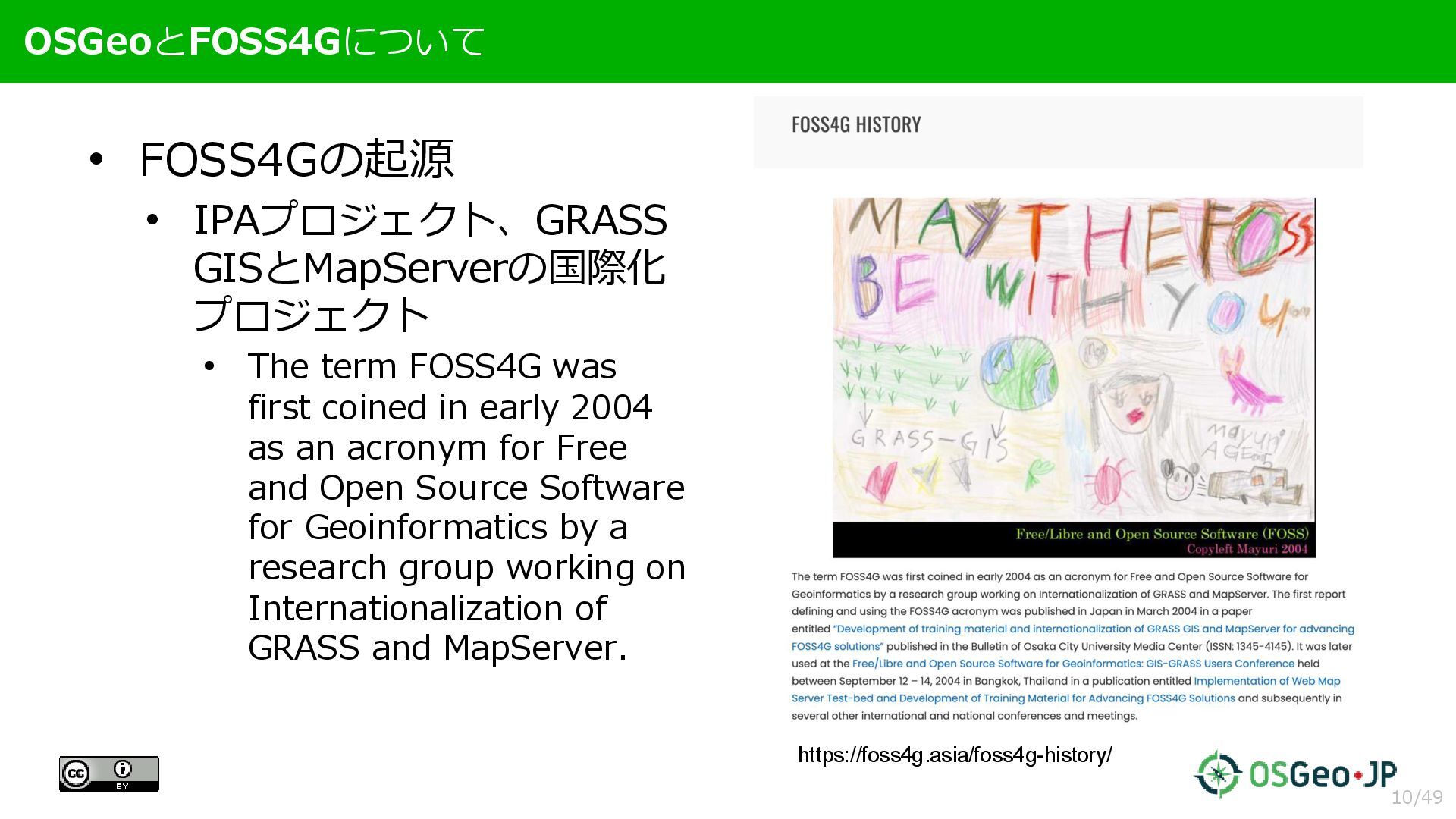
FOSS4G was first coined in early 2004 as an acronym for Free and Open Source Software for Geoinformatics by a research group working on Internationalization of GRASS and MapServer. https://foss4g.asia/foss4g-history/ 10/49
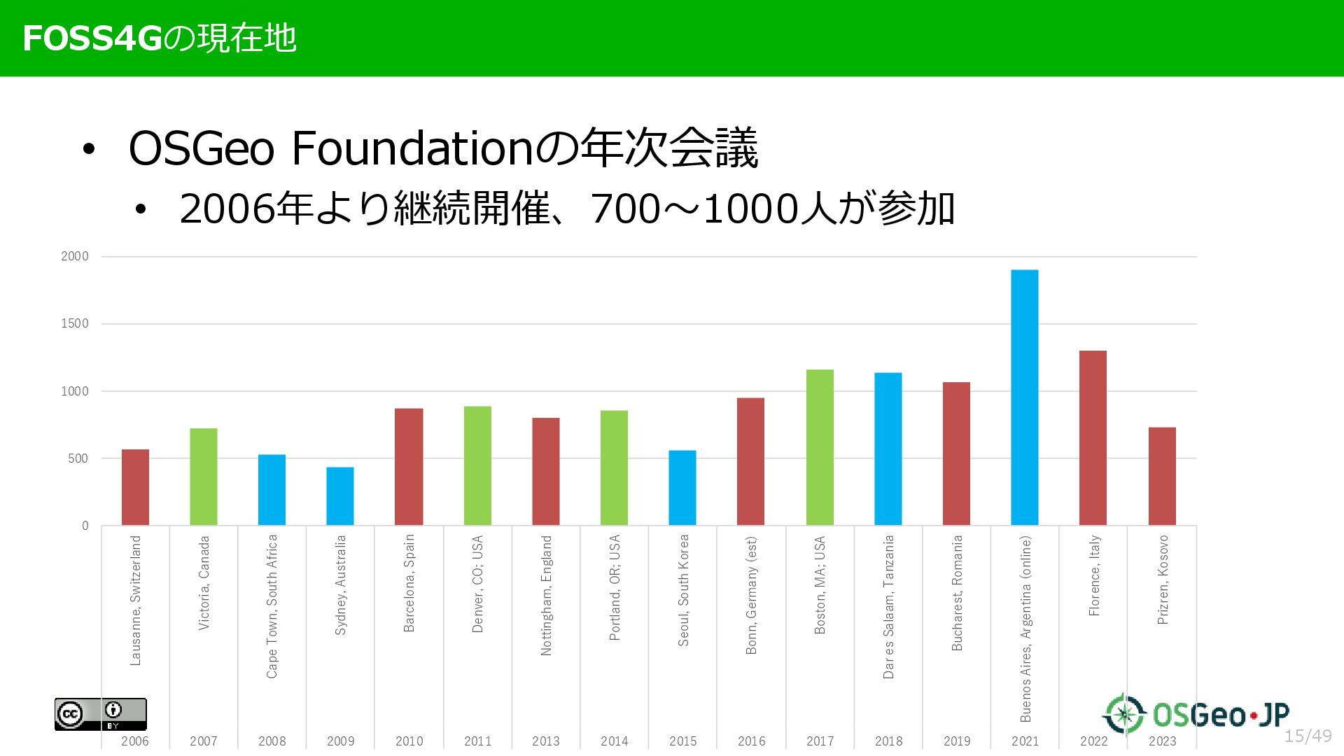
2000 Lausanne, Switzerland Victoria, Canada Cape Town, South Africa Sydney, Australia Barcelona, Spain Denver, CO; USA Nottingham, England Portland, OR; USA Seoul, South Korea Bonn, Germany (est) Boston, MA; USA Dar es Salaam, Tanzania Bucharest, Romania Buenos Aires, Argentina (online) Florence, Italy Prizren, Kosovo 2006 2007 2008 2009 2010 2011 2013 2014 2015 2016 2017 2018 2019 2021 2022 2023 15/49
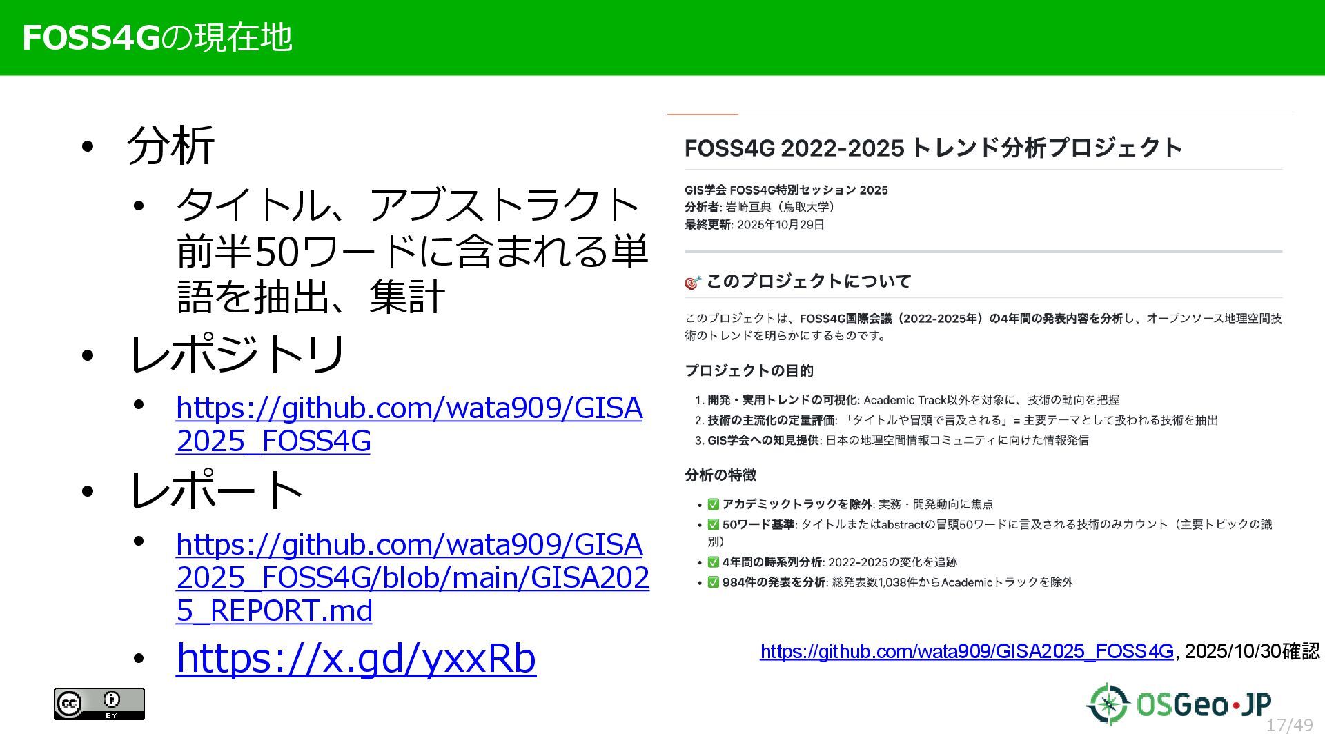
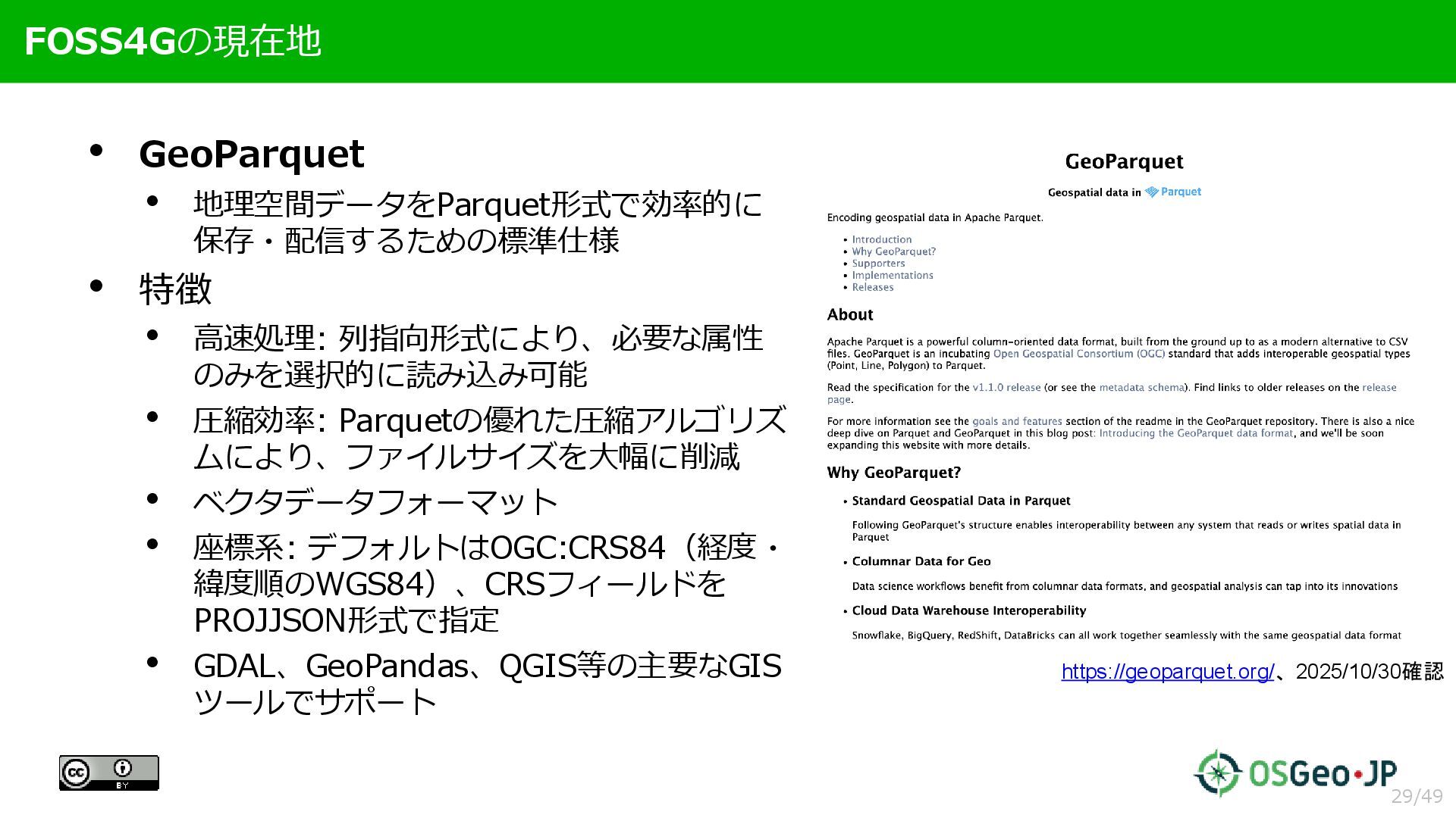
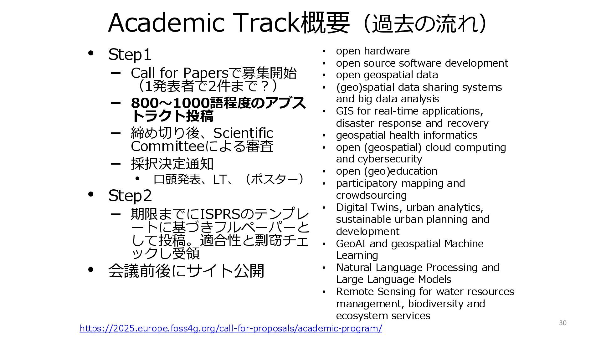
800〜1000語程度のアブス トラクト投稿 – 締め切り後、Scientific Committeeによる審査 – 採択決定通知 • 口頭発表、LT、(ポスター) • Step2 – 期限までにISPRSのテンプレ ートに基づきフルペーパーと して投稿。適合性と剽窃チェ ックし受領 • 会議前後にサイト公開 https://2025.europe.foss4g.org/call-for-proposals/academic-program/ • open hardware • open source software development • open geospatial data • (geo)spatial data sharing systems and big data analysis • GIS for real-time applications, disaster response and recovery • geospatial health informatics • open (geospatial) cloud computing and cybersecurity • open (geo)education • participatory mapping and crowdsourcing • Digital Twins, urban analytics, sustainable urban planning and development • GeoAI and geospatial Machine Learning • Natural Language Processing and Large Language Models • Remote Sensing for water resources management, biodiversity and ecosystem services 30